
PIN 686651 Local time Sunday 3:57 PM | Time zone IST (UTC+5:30) Vehicle registration KL- 35 Nearest city Palai | |
 | ||
Weather 34°C, Wind W at 13 km/h, 43% Humidity | ||
Anthinad (Malayalam:അന്തീനാട്) is a small agricultural village in Kottayam district (MEENACHIL Taluk) situated about 6 kilometres away from Palai. The Main Eastern Highway (Muvattupuzha - Punalur Road ) passes through Anthinad and connects it to two of its neighboring towns, Thodupuzha and Pala.
Contents
- Map of Anthinad Kerala
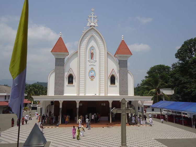
- Famous Landmarks
- Banks in Anthinad Anthinadu
- Hospitals
- Educational Institutions
- How To Reach Anthinad
- Additional Details
- References
Map of Anthinad, Kerala
Famous Landmarks
Banks in Anthinad (Anthinadu)
Hospitals
Educational Institutions
How To Reach Anthinad
Anthinad is 35 km away from Kottayam (6 km from Pala) and 22 km from Thodupuzha. Buses ply from Pala and Thodupuzha to Anthinad very frequently. The nearest airport located at Nedumbassery (Cochin International Airport,approx: 65 KM) and Railway station is located at Ettumanoor. Anthinad is situated 180 km North from the state capital Thiruvananthapuram.
Additional Details
References
Anthinad Wikipedia(Text) CC BY-SA