PIN 231225 Area code 915446 | Time zone IST (UTC+5:30) Population 17,978 (2011) Local time Sunday 10:26 AM | |
 | ||
Weather 26°C, Wind W at 11 km/h, 27% Humidity Neighborhoods WIE Colony, 2nd Type, Bajarang Nagar, Old Japanese Colony, RPL Colony | ||
Anpara is a town in Sonebhadra district in the state of Uttar Pradesh, India. It hosts a Anpara Thermal Power Station with a total installed capacity of power generation of 2830MW. It is built aside Govind Ballabh Pant Sagar Lake and the Rihand River (a tributary of the Son River) The power project provides accommodation and other facilities like health clubs, a hospital,a park,a stadium, shopping malls, and schools.. It also has a shopping center and is well surrounded by smalls hills from the Deccan plateau region.
Contents
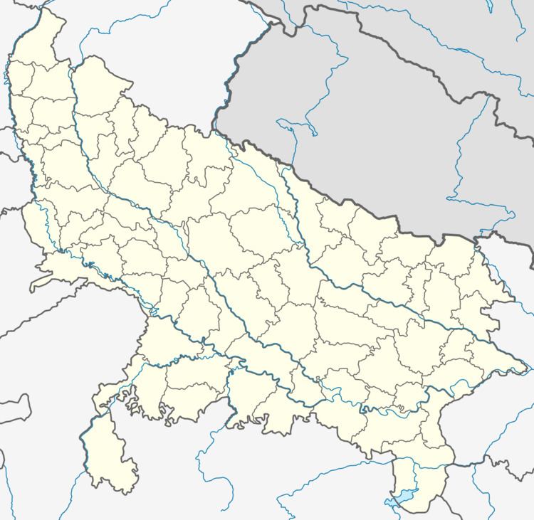
Map of Anpara, Uttar Pradesh 231225
Demographics
According to the 2001 Indian census Anpara had a population of 22 385, males constituting 55% of the population, an average literacy rate of 71%, and 14% of the population was under 6 years of age.
According to 2011 Indian census Anpara had a population of 17,978,Schedule Cast constituting 13.8% of population, an average literacy rate of 83.2% And Sex Ratio of 863.
