
Elevation 25 m Population 5,250 (2001) | Time zone EAT (UTC3) Local time Sunday 6:58 AM | |
 | ||
Weather 26°C, Wind S at 5 km/h, 89% Humidity | ||
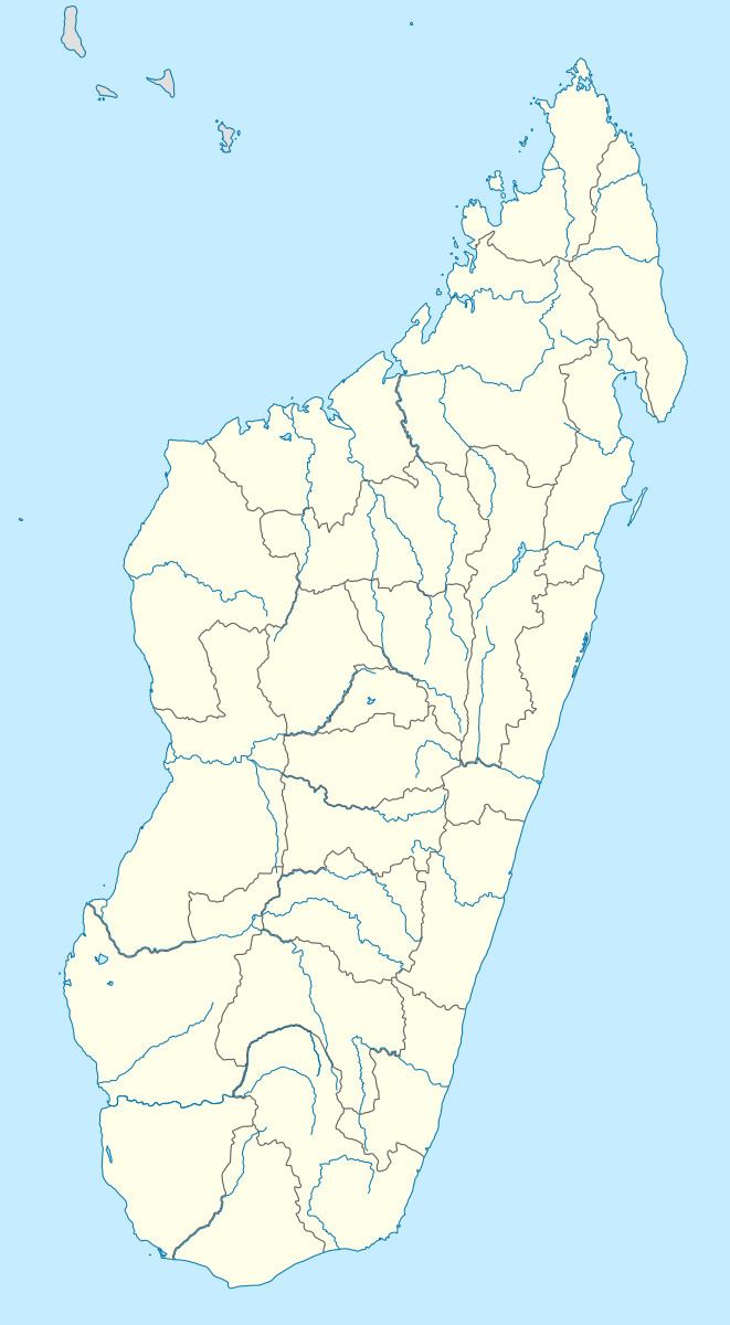
Anorotsangana is a municipality (French: commune, Malagasy: kaominina) in north-western Madagascar over the Mozambique Channel. It is some 250 kilometres south of Antsiranana. It belongs to the district of Ambanja, which is a part of Diana Region. According to 2001 census the population of Anorotsangana was 5,250.
Map of Anorotsangana, Madagascar
Only primary schooling is available in town. Farming and raising livestock provides employment for 40% and 21.3% of the working population. The most important crops are coffee and coconut, while other important agricultural products are pepper and rice. Industry and services provide employment for 0.5% and 0.2% of the population, respectively. Additionally fishing employs 38% of the population.
References
Anorotsangana Wikipedia(Text) CC BY-SA