Website Official website Literacy 59.4% | Area 6,190 km² Lok sabha constituency Arunachal East | |
 | ||
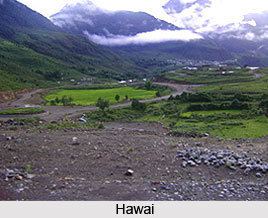
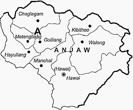
Headquarters Hawai, Arunachal Pradesh | ||
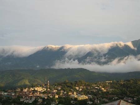
Mishmi hills at anjaw district in arunachal pradesh parispolyphylla medicine
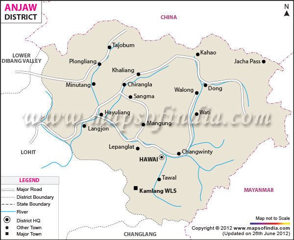
Anjaw District (Pron:/ˈændʒɔ:/) is an administrative district in the state of Arunachal Pradesh in north-east India. It is a newly created district, having been split from Lohit district on 16 February 2004 under the Arunachal Pradesh Re-organization of Districts Amendment Bill. The district borders China on the north. Hawai, at an altitude of 1296 m above sea level, is the district headquarters, located on the banks of the Lohit River, a tributary of the Brahmaputra River. It is the easternmost district in India. The easternmost community in Anjaw is the village of Dong.
Contents
- Mishmi hills at anjaw district in arunachal pradesh parispolyphylla medicine
- Rivers
- Transport
- Agriculture
- Divisions
- Demographics
- Tribes
- Flora and fauna
- References
Anjaw is the second least populous district in India (out of 640).
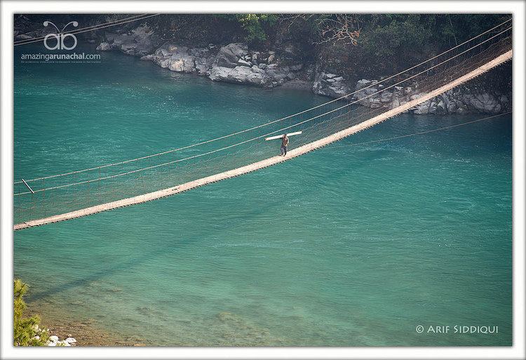
Rivers
The main rivers are the following:
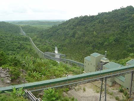
Transport
The 2,000-kilometre-long (1,200 mi) proposed Mago-Thingbu to Vijaynagar Arunachal Pradesh Frontier Highway along the McMahon Line, (will intersect with the proposed East-West Industrial Corridor Highway) and will pass through this district, alignment map of which can be seen here and here.
Agriculture
The main crops are maize, millet, rice, beans, cardamom, orange, pears, plum, and apple.
Divisions
There is one Arunachal Pradesh Legislative Assembly constituency located in this district: Hayuliang. It is part of the Arunachal East Lok Sabha constituency.
The district has seven administrative units:
Demographics
According to the 2011 census Anjaw district has a population of 21,089, roughly equal to the nation of Palau. This gives it a ranking of 639th in India (out of a total of 640). The district has a population density of 3 inhabitants per square kilometre (7.8/sq mi) . Its population growth rate over the decade 2001–2011 was 13.77%. Anjaw has a sex ratio of 805 females for every 1000 males, and a literacy rate of 59.4%.
Tribes
The Mishmi, and the Zakhring (formerly called Meyor) are the main tribes in the district.
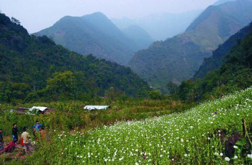
Flora and fauna
The district is rich in wildlife. Rare mammals such as Mishmi takin, Red goral, Gongshan muntjac, Leaf muntjac occurs while among birds there is the rare Sclater's Monal. A pine, Pinus merkusii is found only in this district in the entire northeastern India. A flying squirrel, new to science has also its range in this district. It has been named as Mishmi Hills Giant Flying Squirrel, Petaurista mishmiensis.