
Country India District Changlang district Vehicle registration AR Local time Monday 1:55 PM | State Arunachal Pradesh Time zone IST (UTC+05:30) Elevation 1,240 m ISO 3166 code ISO 3166-2:IN | |
 | ||
Vijay Nagar is the remotest Circle (Tehsil) of Changlang district in the north-eastern state of Arunachal Pradesh, India.
Contents
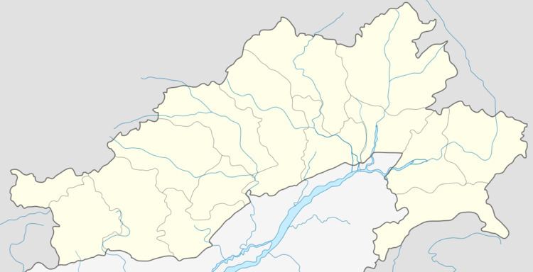
Map of Vijoynagar, Arunachal Pradesh 792055
Location
It is surrounded on three sides by Myanmar, while the other side is flanked by the large expanse of thick forest of Namdapha National Park. Nearby cities are Hayuliang and Tezu in India. Putao is the nearest city in Myanmar.
Transportation
There is no road connection to the area. The village has an airport, but flights do not operate from it for most of the year. Miao, the nearest town in India, is 150 km away.
Vijay Nagar is set to be the eastern terminus on the proposed Arunachal Pradesh Frontier Highway, which would be a 2,000 km (1,200 mi) route following the McMahon Line to Mago and Thingbu in the west. A map of the proposed route can be seen here and here.