
GNIS feature ID 0453087 Population 56,436 (2010) | Elevation 863 ft (263 m) Local time Thursday 1:25 AM | |
 | ||
ZIP codes 46011, 46012, 46013, 46016, 46017 Weather 1°C, Wind NW at 27 km/h, 73% Humidity Points of interest Hoosier Park, Rangeline Nature Preserve, General Pulaski Park | ||
Anderson Township is one of fourteen townships in Madison County, Indiana, United States. As of the 2010 census, its population was 56,436 and it contained 28,001 housing units. Aside from the exclaves of Country Club Heights, Woodlawn Heights and River Forest and the town of Edgewood, the entire township is within the city limits of Anderson.
Contents
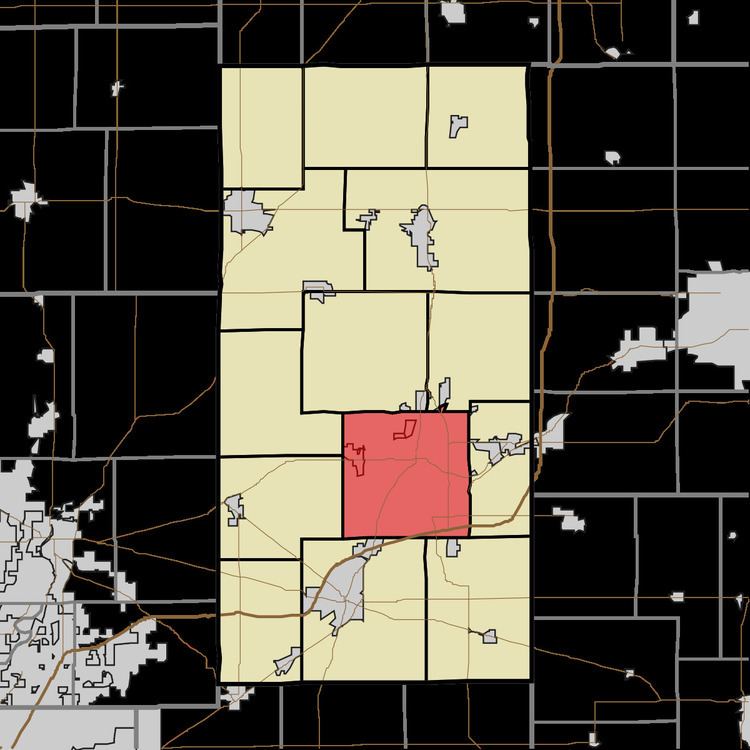
- Map of Anderson Township IN USA
- Geography
- Cities towns villages
- Communities
- Cemeteries
- Major highways
- Airports and landing strips
- Landmarks
- School districts
- Political districts
- References
Map of Anderson Township, IN, USA
Geography
According to the 2010 census, the township has a total area of 37.25 square miles (96.5 km2), of which 37.16 square miles (96.2 km2) (or 99.76%) is land and 0.1 square miles (0.26 km2) (or 0.27%) is water.
Cities, towns, villages
Communities
(This list is based on USGS data and may include former settlements.)
Cemeteries
The township contains these seven cemeteries: Booco, Maplewood, Moss, Pleasant Walk, Saint Marys, Vandeventer and West Maplewood.
Major highways
Airports and landing strips
Landmarks
School districts
Political districts
References
Anderson Township, Madison County, Indiana Wikipedia(Text) CC BY-SA