
Time zone CET (UTC+1) Area 17.48 km² Population 905 (1999) | Region Normandy Canton Aunay-sur-Odon INSEE/Postal code 14011 / 14240 Local time Thursday 4:19 AM | |
 | ||
Weather 6°C, Wind SW at 23 km/h, 79% Humidity | ||
Anctoville is a former commune in the Calvados department in the Normandy region of north-western France. On 1 January 2017, it was merged into the new commune Aurseulles.
Contents
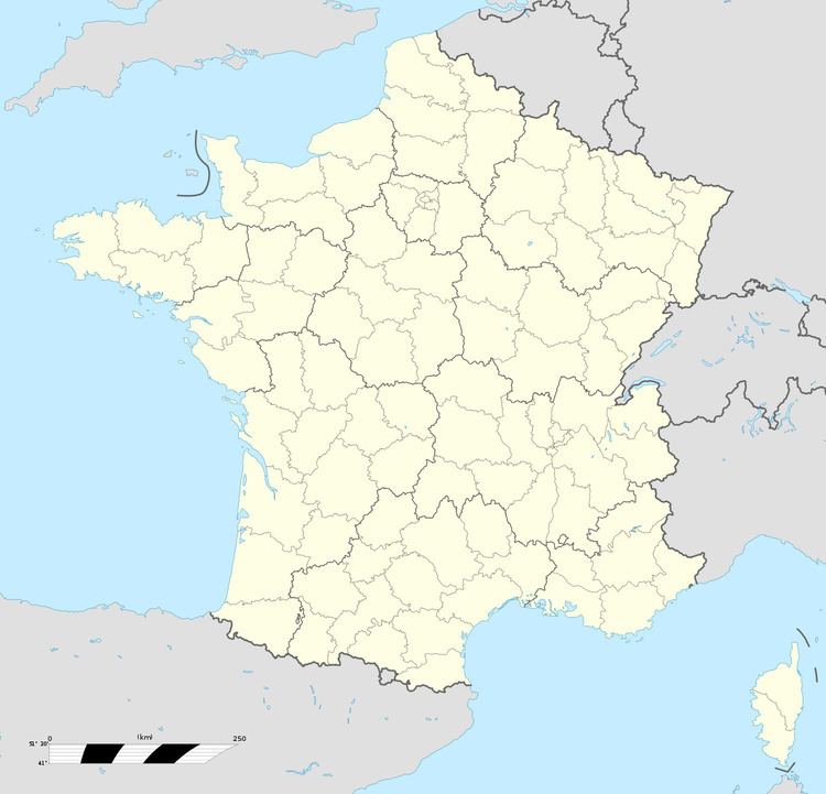
- Map of 14240 Anctoville France
- Geography
- History
- Administration
- Demography
- Economy
- Civil heritage
- Religious heritage
- Notable people linked to the commune
- References
Map of 14240 Anctoville, France
The inhabitants of the commune are known as Anctovillais or Anctovillaises
Geography
Anctoville is located some 30 km south-west of Caen and 5 km north-west of Villers-Bocage in the Bessin area in the Seulles valley. It can be accessed by the D67 road from Saint-Germain-d'Ectot in the north passing through the village and continuing south-east to Villers-Bocage. The D92 road also passes through the length of the commune and the village from south-west to north-east. In the north-east of the commune the D33 road from Longraye in the north passes through and continues south-east to Villers-Bocage. Finally in the north-east is also the D173A road connecting the D92 and the D67. The commune consists entirely of farmland except for two small areas of forest in the north.
The Ruisseau des Landes forms a part of the northern border. Le Candon stream passes through the commune flowing towards the north-east and forming part of the northern border of the commune. Le Seulles stream forms part of the southern border before flowing just south of the village then continuing north-east to form most of the eastern border joining Le Candon at the northern tip of the commune. The Ruisseau David forms the south-eastern border and flows north to join Le Seulles. Le Gallichon stream also forms part of the southern border before joining Le Seulles in the south.
History
The name Anctoville comes from Asketillville' meaning "Anquetil farm" (Anquetoville then later Anctoville). Cf. Ancretteville-sur-Mer.
The former name of Anctoville was Coisnières or Cornières until 1616. Olivier Foulognes, the King's butler, bought the Lordship of Cornières and obtained a change of name. This fief became part of the Bailiwick of Briquessart. The oldest document showing what was the Parish of Coisnières dates from the 12th century. It was a charter of confirmation of goods given by Henry, King of England and Duke of Normandy, at Lessay.
In June 1944, during the Battle of Villers-Bocage, Orbois castle housed the headquarters of the German armoured division Panzer Lehr commanded by Fritz Bayerlein. Anctoville was liberated on 1 August 1944 by the British 61st reconnaissance battalion. These events inspired a scenario in the video game Call of Duty 2 on the Xbox 360.
In 1973, Anctoville (population 394 in 1968) merged with Feuguerolles-sur-Seulles (with 70 inhabitants to the east of the territory), Orbois (120 inhabitants in the north), and Sermentot (182 inhabitants in the north-east). The communes retained the status of Associated communes of France.
Administration
List of Successive Mayors
(Not all data is known)
The council is composed of fifteen members:
The mayor is assisted by two deputies.
Demography
In 2009 the commune had 1,056 inhabitants. The evolution of the number of inhabitants is known through the population censuses conducted in the commune since 1793. From the 21st century, a census of communes with fewer than 10,000 inhabitants is held every five years, unlike larger towns that have a sample survey every year.
Sources : Ldh/EHESS/Cassini until 1962, INSEE database from 1968 (population without double counting and municipal population from 2006)
Anctoville itself had 1,210 inhabitants in 1806. The four communes that merged in 1973 had a total of 2,608 inhabitants in 1836 (1,173 in Anctoville, 299 in Feuguerolles-sur-Seulles, 233 in Orbois, and 903 in Sermentot).
Economy
The commune has an essentially agriculture oriented economy. At the communal inventory of 1998 it had 46 farms, 28 of which were of a professional standard classified by INSEE, for an area of 1,848 hectares used. There were 68 farms in 1988. The main production is the raising of cattle for milk and meat. Arable land is used for forage and grain crops.