
Vehicle registration AP-02 Area 19,130 km² Major highway National Highway 44 | Tehsils 63 Major highways NH44 Literacy 64.3% | |
 | ||
Points of interest Veerabhadra Temple - Lepakshi, Prasanthi Nilayam, Lepakshi Nandi, ISKCON ‑ Sri Sri Radha P, Thimmamma Marrimanu Destinations Anantapur, Puttaparthi, Lepakshi, Hindupur, Tadipatri | ||
Andhra pradesh anantapur district tourist places india
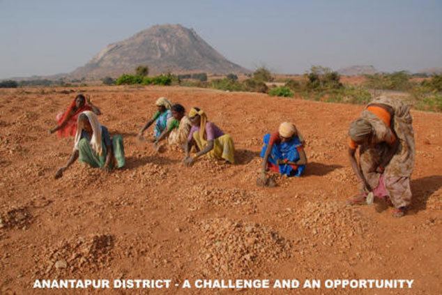
Anantapur District is a district in the Rayalaseema region of Andhra Pradesh, India. The district headquarters is located at Anantapur city. As of 2011 Census, the district had a population of 4,083,315, of which 28.09% is urban and a literacy rate of 64.28%. It is the largest district in terms of area in Andhra Pradesh and 7th largest district in India respectively.
Contents
- Andhra pradesh anantapur district tourist places india
- Map of Anantapuram Andhra Pradesh
- History
- Geography
- Demographics
- Economy
- Divisions
- Transport
- Education
- References
Map of Anantapuram, Andhra Pradesh
History
In 1882, Anantapuram district was formed by carving out from Bellary district.
Geography
It is the largest district of Andhra Pradesh spanning an area of 19,130 square kilometres (7,390 sq mi), comparatively equivalent to Japan's Shikoku Island. It is bounded on the north by Kurnool District, on the east by Kadapa District, on the southeast by Chittoor District, and on the southwest and west by Karnataka state. It is part of Rayalaseema region on the state. Its northern and central portions are a high plateau, generally undulating, with large granite rocks or low hill ranges rising occasionally above its surface. In the southern portion of the district the surface is more hilly, the plateau there rising to 2,000 ft (610 m). above the sea. Six rivers flow within the district: Penna, Chithravathi, Vedavathi, Papagni, Swarnamukhi, and Thadakaleru. The district receives an average annual rainfall of 381 millimetres.
Anantapur city is 354 km from Hyderabad, 200 km from the neighbouring state capital of Bangalore. Anantapur connects Hyderabad and Bangalore through National Highway 7. There is an airport in the district located in Puttaparthi, known as Sri Sathya Sai Airport; however this airport currently has no scheduled service. Bangalore International Airport is nearest commercial airport to Anantapur District.
Demographics
As of 2011 census of India, Anantapur district has a population of 4,081,148 with 9,68,160 households, ranking it as the 7th most populous district in the state. It is the largest district in the state with an area of 19,130 km2 (7,390 sq mi). Anantapur has a sex ratio of 977 females for every 1000 males, and a literacy rate of 63.57%.
Economy
Anantapur has a major potential for development of industry due to its strategic location between Bangalore – Chennai and Bangalore – Hyderabad routes and availability of vast tracts of land. In 2006 the Indian government named Anantapur one of the country's 250 most backward districts (out of a total of 640). It is one of the thirteen districts in Andhra Pradesh currently receiving funds from the Backward Regions Grant Fund Programme (BRGF).
Minerals Anantapur is a major producer of Dolomite and Iron Ore minerals.
Power plants Solar thermal power plant of 50 MW was commissioned at this village under Jawaharlal Nehru National Solar Mission which was named as Megha Solar Plant. It is one of the 7 solar thermal plants in the country.
Silk sarees
Dharmavaram region in Anantapur is world-famous for the handmade pure silk sarees. Its a major hub for Silk trade with end to end silk related industries situated in the region supporting a major portion of population. Tadipatri region in Anantapur is an industrialised town famous for Granite and Cement production. Ultra Tech Cements a unit of Industrial major Larsen & Toubro has a major Cement production unit near the town.
Agriculture
The economy is principally agrarian with a developing industrial sector. Anantapur receives very less rainfall due to its location in the rain shadow area of Indian Peninsula. Prominent crops include groundnut, sunflower, rice, cotton, maize, chillies, sesame, and sugarcane. Silk trade, limestone quarrying, iron and diamond mining. Anantapur town is known as Groundnut City in reference to the neighbouring Bangalore being called as Garden City.
Religious tourism
Lepakshi, a village in Anantapur District famous for temple of Vijayanagara architectural style, Monolithic Lepakshi Nandi, and Hanging Pillar ,Monolithic Naagalingam.
Puttaparthi region in Anantapur is home to the Ashram of Sathya Sai Baba, one of the most popular spiritual gurus of India. Puttaparthi has developed into a major tourist destination due to vast infrastructure created by the ashram he founded, known as Prasanthi Nilayam.
Divisions
The District has 5 Revenue Divisions viz., Anantapur, Dharmavaram, Kadiri, Kalyandurg and Penukonda divisions. Kadiri and Kalyandurg divisions are formed in 2013. These revenue divisions are further divided into 63 mandals.
The mandals of the district are listed in the following table:
Transport
Education
The primary and secondary school education is imparted by government, aided and private schools, under the School Education Department of the state. As per the school information report for the academic year 2015-16, there are a total of 5,024 schools. They include, 28 government, 3,435 mandal and zilla parishads, 4 residential, 1,154 private, 25 model, 62 Kasturba Gandhi Balika Vidyalaya (KGBV), 261 municipal and 55 other types of schools. The total number of students enrolled in primary, upper primary and high schools of the district are 563,710. The total number of students enrolled in primary, upper primary and high schools of the district are 563,266.
Anantapur is an important education centre with many prominent educational, schools, colleges and universities situated in the district. Anantapur city has become a major hub with many education institutions situated in its vicinity. Some of the famous institutions in Anantapur include