
Country India Language spoken State | ||
Hindupur is a city in Anantapur district of the Indian state of Andhra Pradesh. It is situated on the banks of Penna River. It is a municipality and the second largest city in Anantapur district. It also serves as the headquarters of Hindupur mandal.
Contents
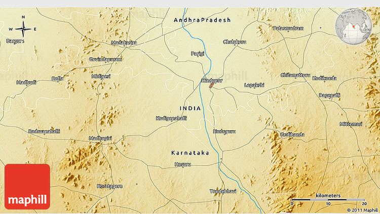
Map of Hindupur
Etymology
Hindupur was given its name by a Maratha Chieftain called Murari Rao, who named this town after his father Hindoji Rao, or after a king named Hindurao.
Demographics
As of 2011 census of India, the city had a population of 151,835. The total population constitute, 76,625 males and 75,210 females —a sex ratio of 982 females per 1000 males, higher than the national average of 940 per 1000. 16,309 children are in the age group of 0–6 years, of which 8,263 are boys and 8,046 are girls. The average literacy rate stands at 76.40% with 103,538 literates, significantly higher than the state average of 67.41%.
Government and politics
Civic administration
Hindupur municipality was formed in the year 1920. It has an extent of 38.16 km2 (14.73 sq mi). During 2008-09 the total expenditure spent was 752.54 crore (US$120 million) and for the year 2010-11, the total income generated was 964.58 crore (US$150 million).
Politics
Hindupur(276) is an Assembly constituency in Andhra Pradesh
Hindupur perhaps is the only constituency in the State where Telugu Desam Party (TDP) remains undefeated since its inception.
Hindupur was the native constituency of the famous actor, director and politician N.T. Rama Rao and he contested and won as M.L.A from Hindupur for 3 times and from then T.D.P is the predominant party in this constituency.
After N.T.Rama Rao, his son Hari krishna also contested from here in 1996 and became M.L.A for this constituency.
In 1999, C.C. Venkata Ramudu won as M.L.A with recorded highest majority in this constituency with 60% votes gain.
- Nandamuri Balakrishna representing Telugudesam party is the present M.L.A. of this constituency.
Transport
Hindupur railway station is administered under Bangalore division of South Western Railway zone.
Geography
Hindupur is located at 13.83°N 77.49°E? / 13.83; 77.49 on the banks of Penna River. It has an average elevation of 2,037 feet (621 metres). It is situated at a distance of 108 km from Anantapur, the district headquarters, and 100 km from the city of Bangalore.