Type Minor Speed 10mm/year | Movement south | |
 | ||
Features Korea, Manchuria, Lake Baikal | ||
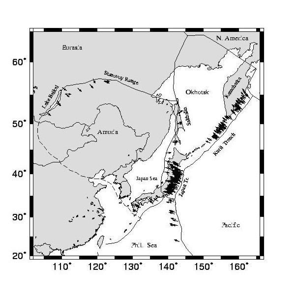
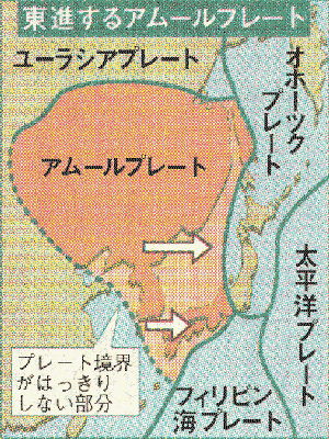
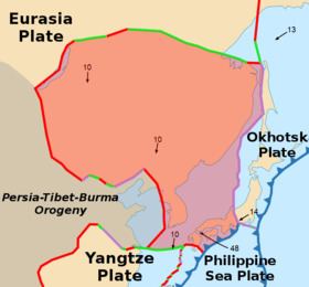
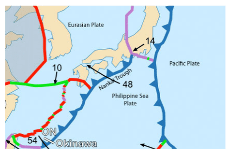
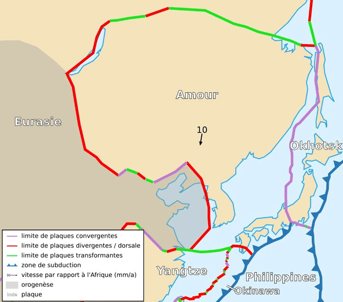
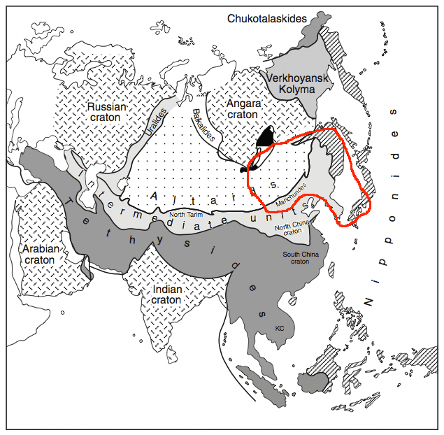
The Amurian Plate (or Amur Plate; also occasionally referred to as the China Plate) is a minor tectonic plate in the northern and eastern hemispheres. It covers Manchuria, the Korean Peninsula, Western Japan, and Primorsky Krai. Once thought to be a part of the Eurasian Plate, the Amur Plate is now generally considered to be a separate plate moving southeast with respect to the Eurasian Plate. The Amurian Plate is named after the Amur River, that forms the border between the Russian Far East and Northeastern China. It is bounded on the north, west, and southwest by the Eurasian Plate, on the east by the Okhotsk Plate, to the southeast by the Philippine Sea Plate along the Suruga Trough and the Nankai Trough, and the Okinawa Plate, and the Yangtze Plate.
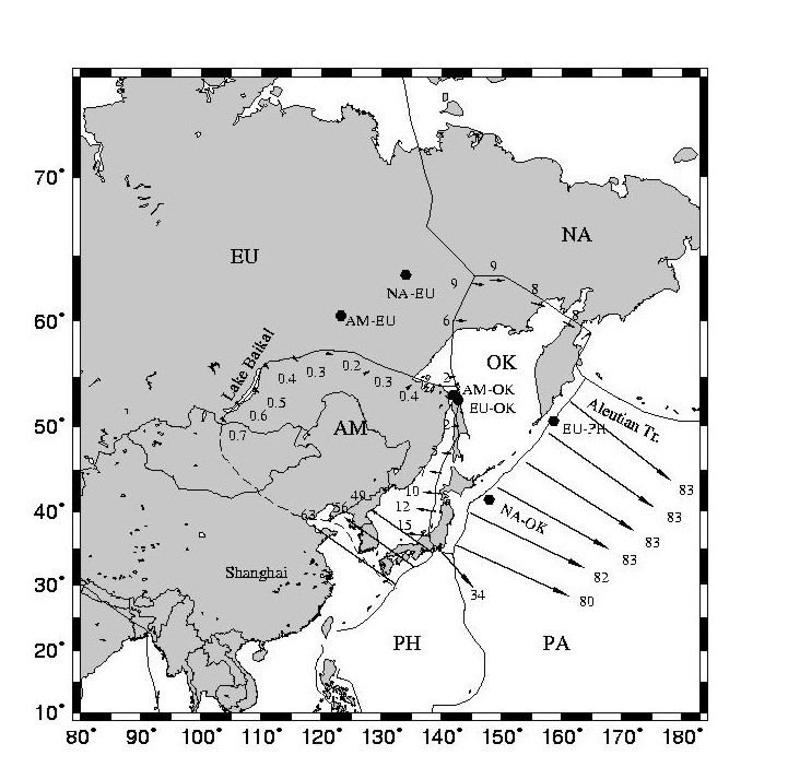
The Baikal Rift Zone is considered a boundary between the Amurian Plate and the Eurasian Plate. GPS measurements indicate that the plate is slowly rotating counterclockwise.
The Amurian Plate may have been involved in the 1976 Tangshan earthquake in China.