Vehicle registration JH Local time Wednesday 3:00 AM | Time zone IST (UTC+5:30) Website bokaro.nic.in Population 4,723 (2001) | |
 | ||
Weather 16°C, Wind W at 3 km/h, 49% Humidity | ||
Amlabad is a census town in Chandankiyari (community development block) in Chas subdivision of Bokaro district in the state of Jharkhand, India.
Contents
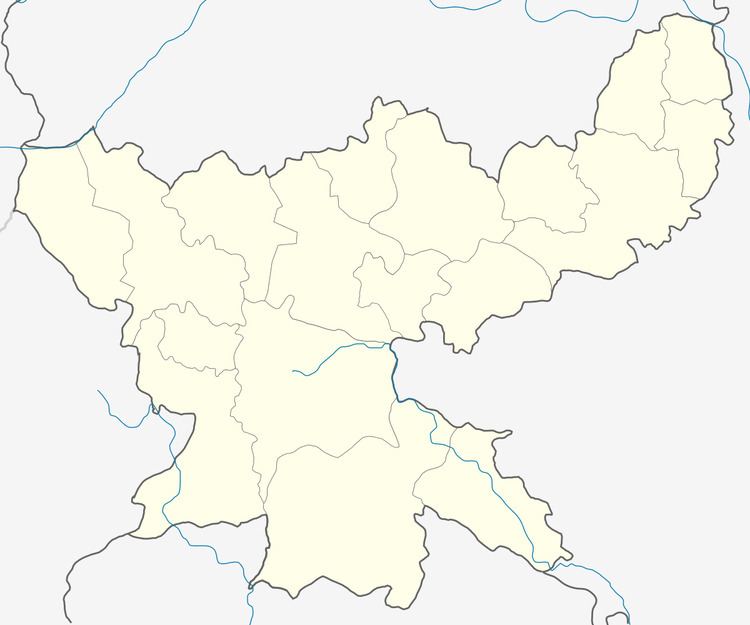
Map of Amlabad, Jharkhand
Demographics
As per 2011 Census of India Amlabad had a population of 4,636, of which 2,477 were males and 2,159 females. Scheduled Castes numbered 2,468 and Scheduled Tribes numbered 47.
As of 2001 India census, Amlabad had a population of 4,723. Males constitute 55% of the population and females 45%. Amlabad has an average literacy rate of 66%, higher than the national average of 59.5%; with 64% of the males and 36% of females literate. 13% of the population is under 6 years of age.
Literacy
As per 2011 census the total number of literates in Amlabad was 3,078 out of which 1,884 were males and 1,194 were females.
Economy
Amlabad Project/ Colliery in the East Jharia area of Bharat Coking Coal Limited has reserves of 45.94 million tonnes of coal (as in 2015).
