
Vehicle registration MP Population 12,025 (2001) ISO 3166 code ISO 3166-2:IN | Time zone IST (UTC+5:30) Elevation 796 m Local time Monday 9:53 PM | |
 | ||
Weather 20°C, Wind NE at 5 km/h, 36% Humidity Neighborhoods Hopital Colony, Police Colony, Ward No. 12 | ||
Sant shri asang dev ji sukhad satsang amarwara
Amarwara is a town and a nagar palika parishad in Chhindwara district in the state of Madhya Pradesh, India.
Contents
- Sant shri asang dev ji sukhad satsang amarwara
- Map of Amarwara Madhya Pradesh 480221
- Navdeep amarwara 26 janwari2017
- Geography
- History
- Demographics
- Schools
- References
Map of Amarwara, Madhya Pradesh 480221
Navdeep amarwara 26 janwari2017
Geography
Amarwara is located at 22.3°N 79.17°E / 22.3; 79.17. It has an average elevation of 796 metres (2611 feet). Amarwara is located in between the Mountains of Satpuda. Confined between Dulha Dev Ghati and bhumka Ghati. It is a famous Market for Chironji / Charoli asort of dry fruit. The supply is all over India from here. It is located between Harrai and Chhindwara on Narsinghpur-Chhindwara Road which is a national Highway no.26-B. The nearest airports are Nagpur and Jabalpur.
History
In the 1860s Johan and Alexina Ruthquist were missionaries here.
Demographics
As of 2001 India census, Amarwara had a population of 12,025. Males constitute 52% of the population and females 48%. Amarwara has an average literacy rate of 78%, higher than the national average of 59.5%; with 57% of the males and 43% of females literate. 15% of the population is under 6 years of age.near amarwara, there is a place called paatalkot in tamiya block of natural beauty...
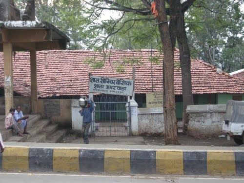
Schools
Govt. Girls Higher Secondary School, Govt. Excellence School, Gyandeep Higher Secondary School, Happy Hours English Medium School, Navdeep Higher Secondary School, Bright Career School, Gurukul Vidya Niketan, etc