
Department Bas-Rhin Time zone CET (UTC+1) Area 16.22 km² Local time Monday 9:30 AM | Canton Ingwiller INSEE/Postal code 67009 / 67260 Population 399 (1999) | |
 | ||
Weather 10°C, Wind S at 21 km/h, 67% Humidity | ||
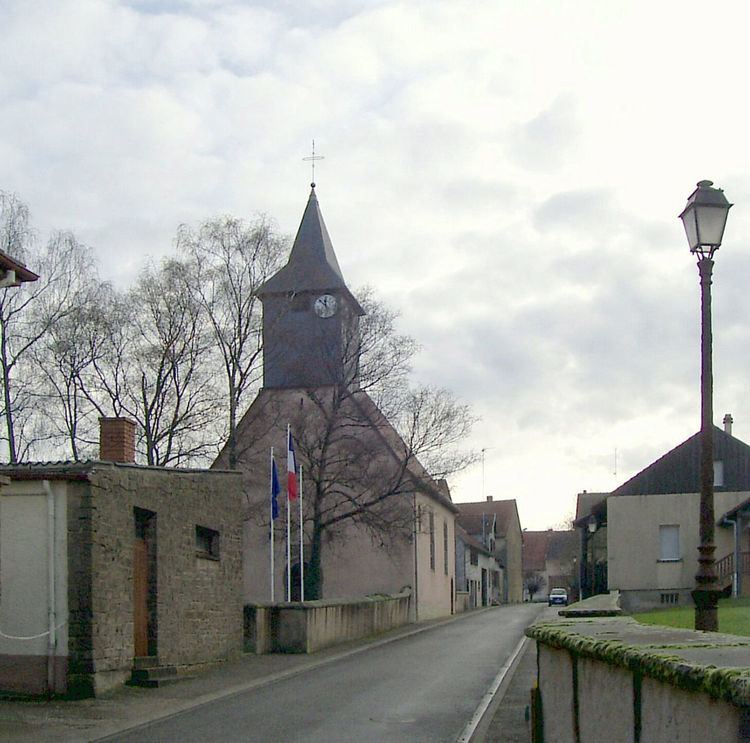
Altwiller (German: Altweiler) is a French commune in the Bas-Rhin department in the Grand Est region of northeastern France.
Contents
- Map of 67260 Altwiller France
- Geography
- History
- Administration
- Demography
- Civil heritage
- Religious heritage
- References
Map of 67260 Altwiller, France
The inhabitants of the commune are known as Altwillerois or Altwilleroises
Geography
Altwiller is located some 20 km south of Sarreguemines on the German border and some 50 km north-east of Nancy. The commune is accessed by the D23 road running east from Vibersviller to the village then continuing east to Harskirchen. The D153 road also runs through the southern portion of the commune as it runs from the D39 road in the south-west north-east to Harskirchen. The western and northern borders of the commune are also the borders between the Bas-Rhin and Moselle departments. As well as Altwiller village there is also the hamlet of Chateau Bonnefontaine in the south of the commune.
The Canal des Houllietes de la Satre passes along the southern border of the commune. The Rose stream passes near the village flowing west from Moselle to the Albe river partly forming the northern border of the commune. The northern part of the commune is farmland while the southern part is mainly forested.
History
Fragments of vases and other Gallo-Roman pieces have been found at Bonnefontaine. The site is located on the salt route. In addition to the two annexes of Neuweyershof and the Bonnefontaine domain the village had in its vicinity a hamlet called Honkesen-Huntzen which has now disappeared.
Altwiller was deserted in the 15th century and rebuilt a little later in 1559 mainly by Huguenots from Lorraine. It was partially destroyed again in 1635 by the Croatians then became the property of Sarrewerden then of Nassau-Saarbrücken with the capital of the Bailiwick of Harskirchen. The village returned to France in 1793.
Administration
List of Successive Mayors of Altwiller
(Not all data is known)
Demography
In 2009, the commune had 422 inhabitants. The evolution of the number of inhabitants is known through the population censuses conducted in the town since 1793. From the 21st century, a census of municipalities with fewer than 10,000 inhabitants is held every five years, unlike larger towns that have a sample survey every year.
Sources : Ldh/EHESS/Cassini until 1962, INSEE database from 1968 (population without double counting and municipal population from 2006)
Civil heritage
The commune has many buildings and structures that are registered as historical monuments:
Religious heritage
The commune has several religious buildings and structures that are registered as historical monuments: