
- elevation 149 m (489 ft) - elevation 0 m (0 ft) Postal code 0846 | Founded 1872 Local time Thursday 6:43 PM Federal division Division of Lingiari | |
 | ||
- average 1,980 m/s (69,923 cu ft/s) Weather 32°C, Wind NE at 6 km/h, 53% Humidity | ||
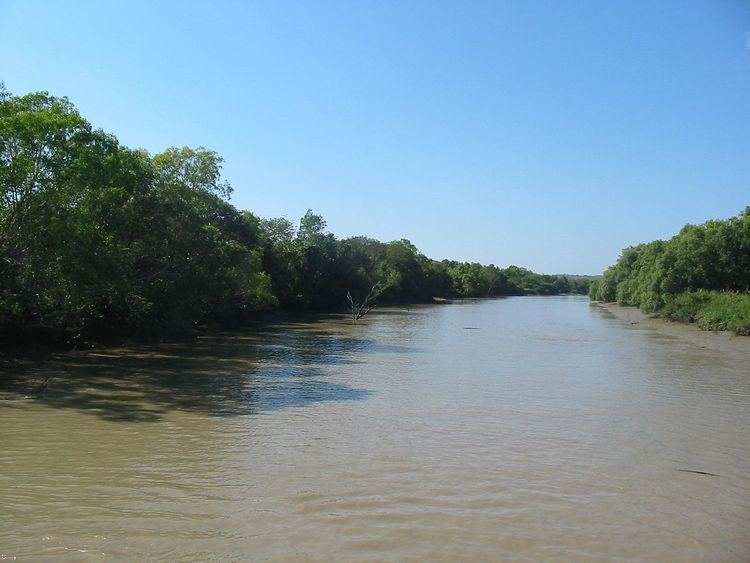
The Adelaide River is a river in the Northern Territory of Australia.
Contents
Map of Adelaide River NT 0846, Australia
Course and features
The river rises in the Litchfield National Park and flows generally northwards to Clarence Strait, joined by eight tributaries including the west branch of the Adelaide River, Coomalie Creek, Margaret River and Marrakai Creek, before discharging into its mouth in Adam Bay in the Timor Sea. The river descends 151 metres (495 ft) over its 238-kilometre (148 mi) course. The catchment area of the river is 7,640 square kilometres (2,950 sq mi).
The Adelaide River is crossed by both the Stuart Highway adjacent to the township of Adelaide River and the Arnhem Highway near Humpty Doo.
The Adelaide River is well known for its high concentration of saltwater crocodiles, along with other wildlife including white-bellied sea eagles, whistling kites, freshwater crocodiles, bull sharks and Black Flying-fox. Its lower reaches form part of the Adelaide and Mary River Floodplains Important Bird Area.
A man named Fitzmaurice, under the command of John Lort Stokes, was the first European to discover the river when he sighted it when on a boating expedition. The expedition was part of the Admiralty surveying ship, 'The Beagle voyage in 1839 and it was named in memory of Queen Adelaide.