
Population 1,296 (2015 est) Mayor Wendy Leach Area 1,500 km² | Established 1990 Website Coomalie Shire Founded 1990 | |
 | ||
University Batchelor Institute of Indigenous Tertiary Education | ||
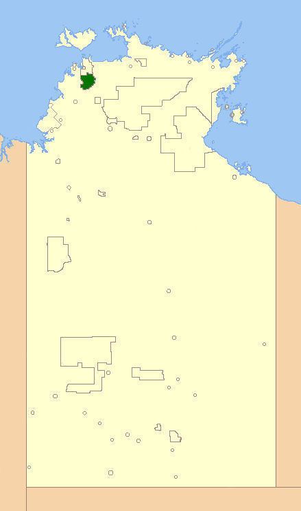
The Coomalie Shire is a local government area in Australia's Northern Territory, situated south of Darwin and Palmerston. The council governs an area of 1,500 km2 (580 sq mi). The shire had a population of 1,106 at the 2011 census.
Contents
Map of Coomalie, NT, Australia
History
Coomalie Community Government Council was established on 7 December 1990, and its first elections were held in 1997. On 1 July 2008, Coomalie Council became one of the 11 Shires in the territory, changed by the Northern Territory Government.
Wards
The council is divided up into six wards, which is governed by 9 councillors across the six wards:
Townships
The Shire includes the localities of
The boundary of this area extends from the Manton Dam in the north, to the town of Adelaide River in the south and east from the Adelaide River, to the Litchfield National Park in the west.
Meetings
Meetings are scheduled for the 3rd Tuesday of every month.