
- elevation 843 m (2,766 ft) - elevation 297 m (974 ft) | - location west of Noojee | |
 | ||
Similar Bonang River, Caledonia River, Cumberland River, Glenmaggie Dam, Wongungarra River | ||
The Ada River is a perennial river of the West Gippsland catchment, located in the West Gippsland region of the Australian state of Victoria.
Contents
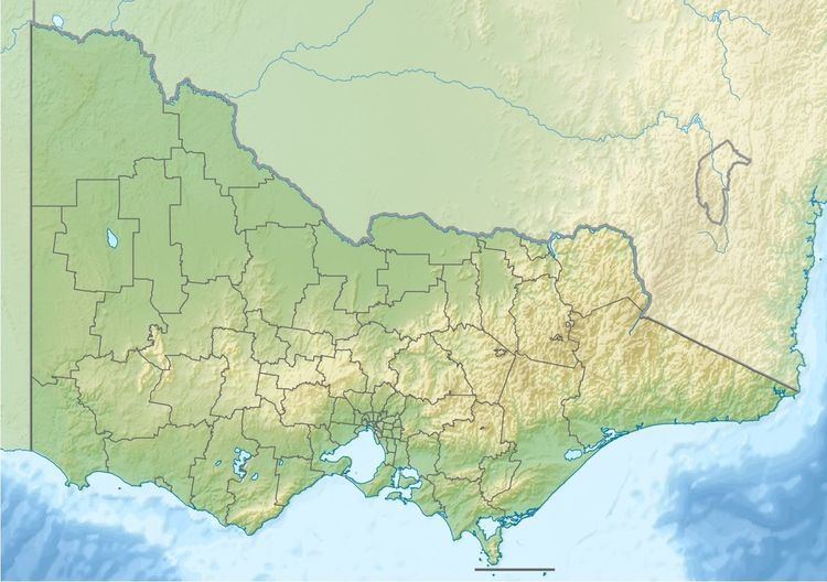
Map of Ada River, Victoria, Australia
Course and features
Ada River rises below Marney Hill, northeast of Powelltown, in a state forestry area, and flows generally northeast, then south by east, before reaching its confluence with the Latrobe River, north of the Yarra Junction-Noojee Road, west of the locality of Noojee in the Shire of Baw Baw. The river descends 546 metres (1,791 ft) over its 14-kilometre (8.7 mi) course.
The Ada River sub-catchment area is managed by the West Gippsland Catchment Management Authority.
References
Ada River (Baw Baw, Victoria) Wikipedia(Text) CC BY-SA