
Time zone NPT (UTC+5:45) Area 1,692 km² | Website Official website Zone Seti Zone | |
 | ||
Region Far-Western Development Region, Nepal | ||
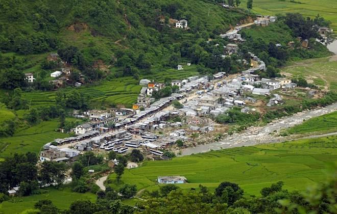
Achham District (Nepali: अछाम जिल्ला Listen ), a part of Province No. 7, is one of the seventy-five districts of Nepal. The district, with Mangalsen as its district headquarters, covers an area of 1,692 km² and has a population (2011) of 257,477. It is one of the remotest districts of Nepal. It is accessible by automobile from Kathmandu and Nepalgunj via a paved road that runs along the western border of Nepal from Dhangadhi. The unpaved of Mid hill lokmarg through Dailakh district also takes to Mangalsen by crossing karnali at rakam.
Map of Achham, Nepal
Mangalsen, the district headquarters, is eight hours walk and two and one half hour drive from Sanphebagar - a town in Achham sporting a non-functional domestic airport. A bridge crosses the Budhiganga river in Sanphebagar allowing access during high water, a second bridge over the Kailash river. During 2009/2010, the government of Nepal have constructed a paved road connecting Sanphebagar to Mangalsen. The district is served by two hospitals, the government district hospital in Mangalsen and one recently opened in Bayalpata named Bayalpata hospital that is a collaboration between the government and the non-profit organization Nyaya Health.