
Mouth Pacific Ocean | Length 233 km | |
 | ||
Basin size 5,603.9 km (2,163.7 sq mi) Discharge Average rate:5,000 l/s (66,000 imp gal/min) | ||
The Acaponeta River is formed in the State of Durango, México.
Map of Acaponeta River, Mexico
Its surface covers 5,603.9 square kilometres (2,163.7 sq mi). From its beginning to where it penetrates Nayarit, the river takes the name Quebrada de San Bartolo, and after this point, it is called Río Acaponeta.
Crossing the municipalities of Pueblo Nuevo, Durango; and Huajicori and Acaponeta, in Nayarit; it passes by the regions of Mineral de Cucharas, Quiviquinta, Huajicori, Acaponeta, San Felipe Aztatán, Tecuala, Milpas Viejas, El Filo and Quimichis; with its mouth in Estero de Teacapán, in a place called Puerta del Río (River's gate).
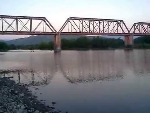
The river has a total length of 233 kilometres (145 mi) until Barra del Novillero; in the last 40 kilometres (25 mi), given its gentle slope, it is navagable by canoe, even in the dry seasons.