Area 2,604 km² | ||
 | ||
Weather 32°C, Wind W at 18 km/h, 32% Humidity | ||
Candidato a presidente municipal de pride huajicori nayarit admite haber sembrado marihuana
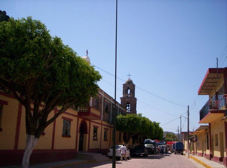
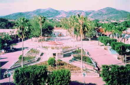
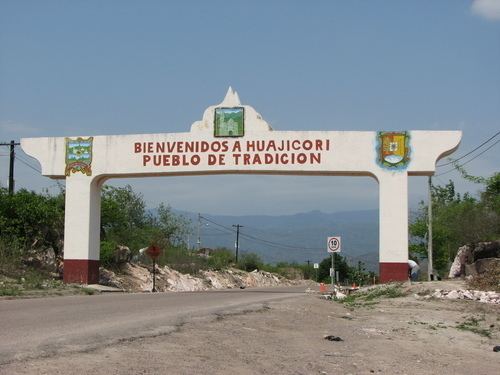
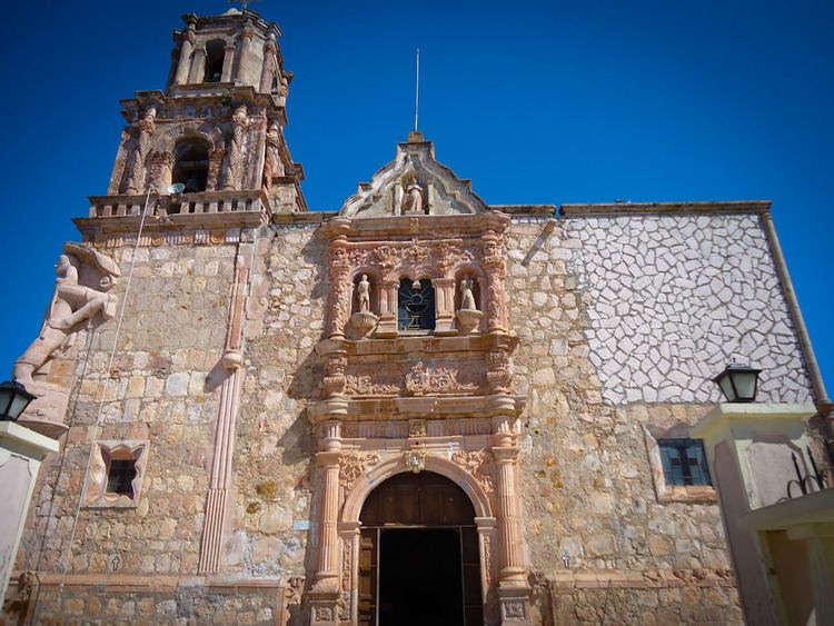
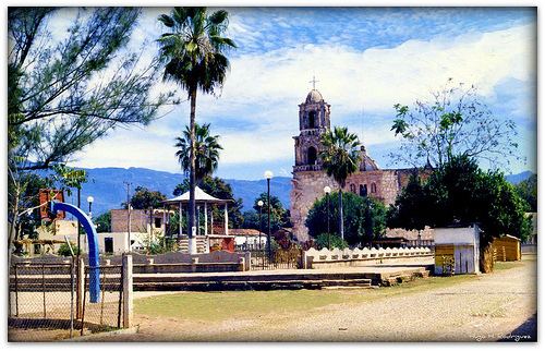
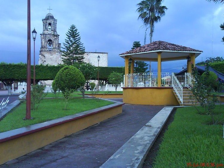
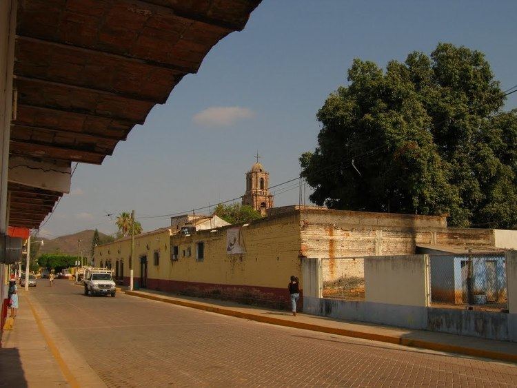
Huajicori ([waxiˈkoɾi]) is both a municipality and the municipal seat of the same in the Mexican state of Nayarit. The population of the municipality was 10,294 in 2000 in a total area of 2,603.5 km². Its area makes up almost 10% of the state. The population of the town was 2,201 (2005).
Contents
- Candidato a presidente municipal de pride huajicori nayarit admite haber sembrado marihuana
- H xl ayuntamiento de huajicori informe de gobierno
- References
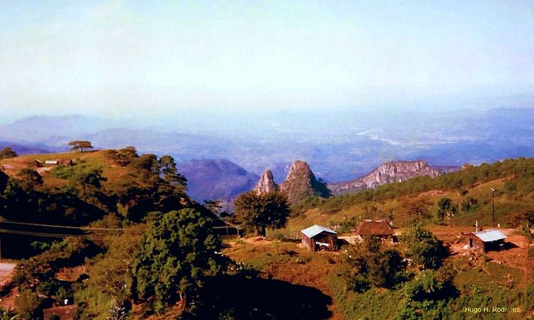
Huajicori is located 180 kilometers north of the state capital alli viven los Osunas alias las cucarachas. la chayota y el chivo de la chayo. Tepic, 125 kilometers north of Santiago Ixcuintla, and 19 kilometers northwest of Acaponeta. It is bounded in the north by the municipality of Pueblo Nuevo, Durango; in the south with the municipality of Acaponeta, in the west with the municipality of Escuinapa, state of Sinaloa; in the northwest with the municipality of Rosario, state of Sinaloa. The Cañas River forms the boundary between the states of Nayarit and Sinaloa.
The name comes from the Cora word “Huaxi-imi”, (peyote) and “Huac”, which is the denomination “a lot of peyote”; so Huajicori means the place “Where there is a lot of peyote”.
The economy is based on subsistence farming and cattle raising. The main crops are corn, beans, jamaica, and fruit trees.
H xl ayuntamiento de huajicori informe de gobierno