
Zone Mehakelegnaw (Central) Elevation 2,275 m Population 16,115 (2007) | Time zone EAT (UTC+3) Local time Tuesday 5:34 PM | |
 | ||
Weather 26°C, Wind SE at 5 km/h, 34% Humidity | ||
Abiy Addi (also spelled Abi Addi; Tigrigna ዓብዪ ዓዲ "Big town") is a town and separate woreda in north central Ethiopia, and was capital of the former province of Tembien before that province was incorporated into Tigray. Located about 870 kilometres north of Addis Ababa in the Mehakelegnaw Zone of the Tigray Region, this town has a latitude and longitude of 13°37′23″N 39°00′06″E with an elevation ranging from 1917 to 2275 meters above sea level. Abiy Addi is surrounded by Kola Tembien woreda.
Contents
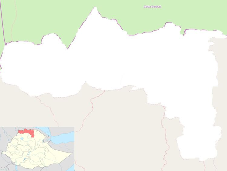
Map of Abiy Addi, Ethiopia
Overview
The town is divided into two parts by the Gerebshegalu River, the lower part being the more respectable part while the upper part "is where you'll find the marketplace ... and the seedier bars in which you're most likely to see Awris dancing as the tej hits the mark." Briggs notes that Abiy Addi is known in Tigray for the frenetic style of dancing called "Awris", as well as the quality of its honey.
Having visited Abiy Abbi in the mid-1940s, David Buxton thought that "perhaps the best thing about Abbi Addi was the panorama of the Simien mountains standing to the west beyond the deep valley of the Tekezé." Buxton notes that the entire height of that mountain range was visible, from the southern foothills to the summit. "And round about the lower slopes, dimly seen through the haze, were many fantastic outlying peaks, square or spiky, like the mountains of a child's imagination." As for the town itself, Philip Briggs describes it as "a reasonably substantial settlement, set in a dusty valley below an impressive cliff."
Abiy Addi is connected to Adwa by an all-weather gravel road which runs through Maykinetal, which has a total length of 100 kilometers; it was rehabilitated between May 2003 and April 2005 at a cost of 54.6 million Birr.
History
Abiy Addi owed its importance in the 19th century due to its location on the "King's Road", at the point where the road south from Adwa split, one branch taking travellers to Debre Tabor and the other to the Lake Ashenge region. The British explorer Charles Beke passed through this town (which he called "A'biyad") 15 April 1843, and described it later as "the principal place of Tembien, and a large market-town." However, in later years the fortunes of the town varied. By 1890, visitors described Abiy Addi as a small market town which handled various imported goods, such as mirrors made in France, cotton cloth from Manchester and Mumbai, as well as the usual local produce. Writing a few years later, Augustus B. Wylde described the Abiy Addi market, held on Saturdays, as of medium size.
On 5 December 1935, during the Second Italo-Ethiopian War, Abiy Addi was occupied by the Italian Eritrean Corps. the town was evacuated later that month. Then, after having been headquarters of Ras Kassa Haile Darge and Ras Seyoum Mengesha, it was definitely reoccupied by the Italians on 28 February 1936. A rock-hewn church served as the shelter of Ras Kassa.
With only minimal forces the Tigrayan People's Liberation Front (TPLF) had captured the lightly defended Abiy Addi in 1976 and controlled it for almost a year before being forced out of the town by superior Derg Forces. The Red Terror was particularly brutal in this town, undoubtedly because of the TPLF's support in this area. During a market day in July 1977, the Derg executed 178 people in the town square, claiming that they were thieves. Eyewitnesses report that most of the victims were peasants, many of whom had travelled from the neighboring woreda of Adet to buy salt because of shortages at home.
In the following years, Abiy Addi exchanged hands between the TPLF and the Derg was bombed by the Derg thirteen times, 340 houses were burnt or destroyed, and over 400 of the town's inhabitants were killed or wounded. This violence caused many people to leave the area, some for Mekele, and others as far as the liberated territories around Shiraro where even merchants took up farming. On 1 March 1985 Abiy Addi was bombed on a market day. In 1988, the TPLF took definite control of Abiy Addi, and held it to the conclusion of the Ethiopian Civil War. However, the Derg attacked the town twice that year, once with helicopters, killing almost 50 people.
Demographics
Based on the 2007 national census conducted by the Central Statistical Agency of Ethiopia (CSA), this town has a total population of 16,115, of whom 7,826 are men and 8,289 women. The majority of the inhabitants said they practiced Ethiopian Orthodox Christianity, with 88.59% reporting that as their religion, while 11.31% of the population were Muslim. The 1994 census reported it had a total population of 7,884 of whom 3,545 were men and 4,339 were women.