
Length 61.5 km | ||
 | ||
West end: Mottram Moor, Hollingworth (A57 near M67) | ||
The A628 is a major road in the north of England connecting Greater Manchester and South Yorkshire by crossing the Pennine chain of hills by way of the Woodhead Pass through the Peak District National Park. The height and the exposure of the road create problems during poor weather in winter and the road is sometimes closed due to snow or high winds.
Contents
Map of A628, Sheffield S36, UK
Route
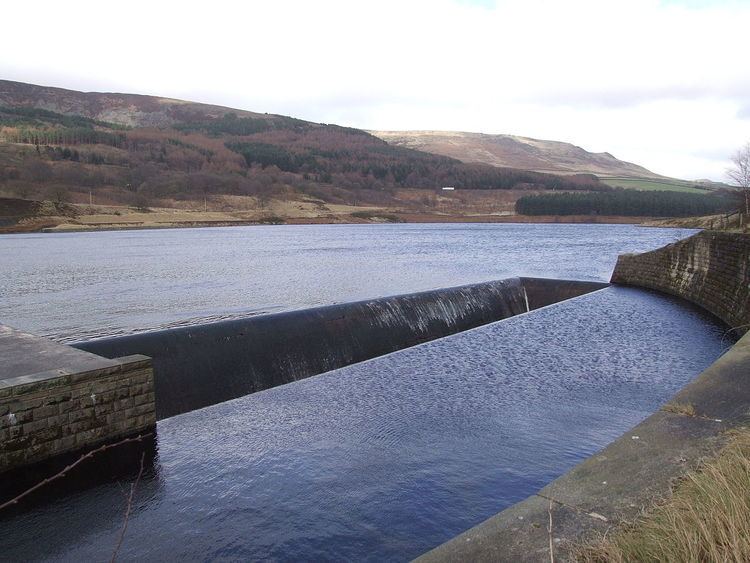
The road starts to the east of Manchester at the end of the M67 motorway and A57 road. It passes through Mottram in Longdendale, Hollingworth and Tintwistle (where there are plans for a bypass) and then through Longdendale and the Peak District National Park to Crowden and Salter's Brook Bridge where the road leaves Derbyshire and enters Barnsley Metropolitan Borough From its summit the road descends through Millhouse Green, Thurlstone, around Penistone before joining the M1 motorway at Junction 37.
From the M1 junction the road passes through Barnsley, Cudworth, Brierley and around Hemsworth (bypassed) to Ackworth Moor Top ending in Pontefract at a junction with the A639 road.
The height and the exposure of the road over the Woodhead Pass creates problems during poor weather in winter when the road can be closed due to snow or high winds.
Proposed developments
The route through Longdendale and proposed improvements, the Longdendale Bypass plans, are (as of 2008) a matter of great debate.
Culture
The A628 is mentioned in the 2001 Human League track "The Snake", which suggests it as an alternative route from the M62 or A57 Snake Pass.