
 | ||
North end: E 232 / A28 / N50 in Hattem | ||
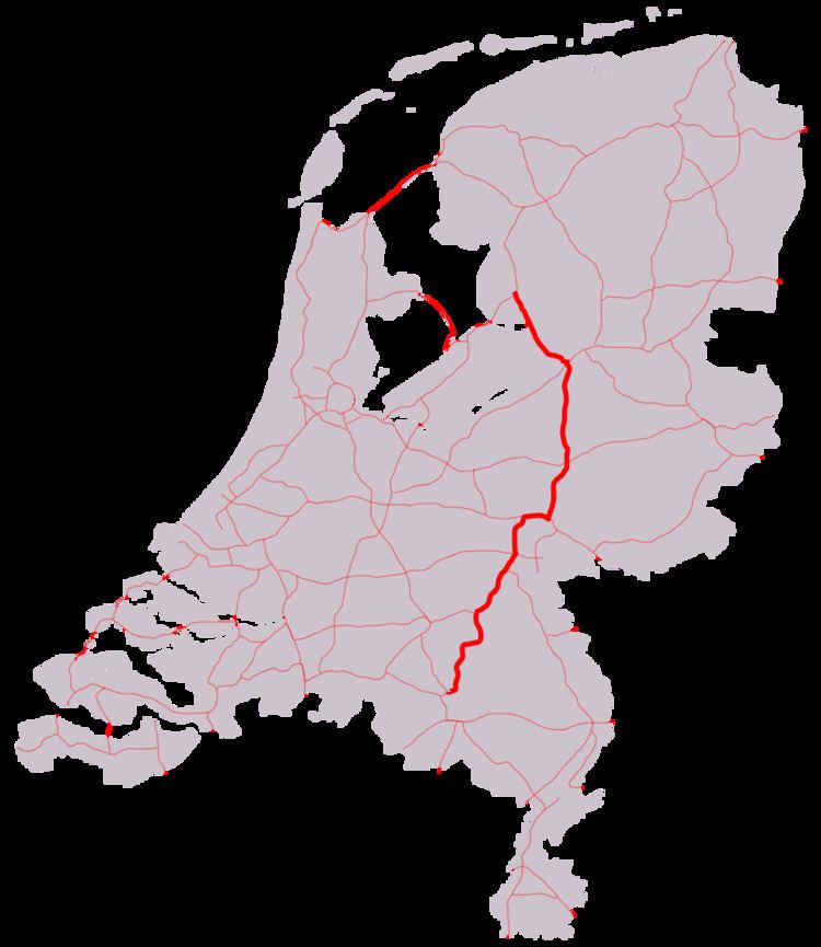
A50, the section of Rijksweg 50 that is constructed as controlled-access highway, is a north–south motorway in the Netherlands, running from Eindhoven in the province of North Brabant, northwards passing by the cities of Oss, Nijmegen, Arnhem and Apeldoorn, to its northern terminus in the province of Gelderland near the city of Zwolle.
Contents
Map of A50, Netherlands
The highway is maintained by Rijkswaterstaat.
Route description
It passes the cities of Eindhoven, Den Bosch, Oss, Nijmegen, Arnhem, Apeldoorn and Zwolle.
History
During the Second World War the Highway was known as Highway 69. Since 1969 it is known as N69, and now remains so named only between the border of Noord-Brabant province and the E34 Freeway.
The highway was an important and only avenue of advance during Operation Market Garden, and after the fighting along its length between Allied and Wehrmacht forces it was named "Hell's Highway" so named because of the effective artillery fire directed at it by the German forces in the area. During the fighting some 16 kilometres (9.9 mi) of the highway south of Eindhoven was jammed with wrecks of vehicles being attacked by up to 200 Luftwaffe bombers requiring bulldozers and blade-equipped tanks to roam the length, pushing them off the surface to keep traffic moving. The wrecks on the soft shoulders of the highway prevented its use by other vehicles, in effect converting the highway into a narrow corridor, and slowing the movement on it to a crawl for the Allied drivers.
The fighting along N69 is depicted in a recent computer game Brothers in Arms: Hell's Highway.