Puneet Varma (Editor)

A49 autoroute

Updated on
Edit
Like
Comment
Share on FacebookTweet on TwitterShare on LinkedInShare on Reddit
Existed:
  
1992 – present

East end:
  
Grenoble

Constructed
  
1992

West end:
  
Romans-sur-Isère

Length
  
70.4 km

Highway system
  
Autoroutes of France

A49 autoroute

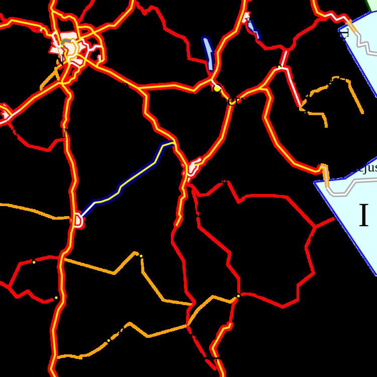
The A49 autoroute is a motorway in France. The road provides a connection between Romans (Valence) with Grenoble.

Contents

Map of A49, France

Characteristics

  • 2x2 lanes
  • 98 km long
  • History

    The first section was opened in 1991 between the junction with the A48 towards Voreppe and the junction at Tullins (N°11). Its extension to Romans-sur-Isère was opened in 1992.

    Junctions

  • Exchange A48-A49 Junction with A48 autoroute to Lyon and Grenoble.
  • 11 (Tullins) Towns served: Tullins
  • 10 (Vinay) Towns served: Vinay
  • 09 (Saint-Marcelin) Towns served: Saint-Marcelin
  • 08 (Saint-Nazaire-en-Royans) Towns served: Saint-Nazaire-en-Royans
  • Péage de Chatuzange-le-Goubet
  • 07 (Novel-de-Isere) Towns served: Romans-sur-Isere
  • 06 (Bourg-de-Péage) Towns served: Romans-sur-Isere, Bourg-de-Péage
  • The A49 becomes the N532 and remains dual carriageway
  • 05 (Les Soubres)
  • 04 (Valance TGV)
  • 03 (St-Marcel-lès-Valence)
  • 02 (Le Plovier)
  • Exchange N532-N7 Road joins the N7 Valence western bypass to the A7.
  • References

    A49 autoroute Wikipedia