
Intercommunality Pays Voironnais Area 28.79 km² Local time Sunday 11:36 AM | Canton Tullins Time zone CET (UTC+1) Population 7,068 (1999) | |
 | ||
Weather 13°C, Wind E at 6 km/h, 59% Humidity | ||
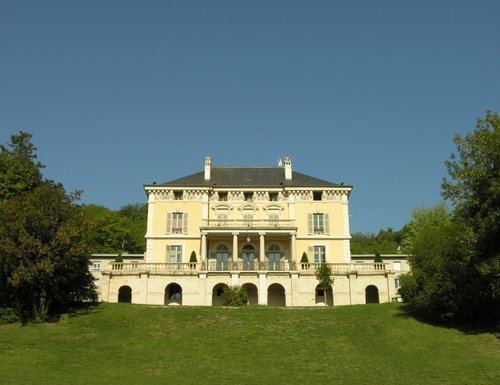
Tullins is a commune in the Isère department in southeastern France.
Contents
Map of 38210 Tullins, France
Geography
The agglomeration of Tullins is situated in forested foothills that flank Chambaran Plateau. At its foot lies the alluvial plain of the Isère, which is the agricultural and rural part of the area. The town is traversed by the Fure and bordered by the Isère.
It is located 13 kilometres (8.1 mi) from Vinay and Voiron, 17 kilometres (11 mi) from Le Grand-Lemps, 19 kilometres (12 mi) from Grenoble-Isère International Airport, 23 kilometres (14 mi) from Saint-Marcellin, 26 kilometres (16 mi) from La Côte-Saint-André, and 29 kilometres (18 mi) from Grenoble. The city is served by the Tullins-Fures train station on Grenoble line and the A49 autoroute, which can be accessed 3 kilometres (1.9 mi) from the city center.