Samiksha Jaiswal (Editor)

A46 autoroute

Updated on
Edit
Like
Comment
Share on FacebookTweet on TwitterShare on LinkedInShare on Reddit
Length
  
62 km

Highway system
  
Autoroutes of France

A46 autoroute

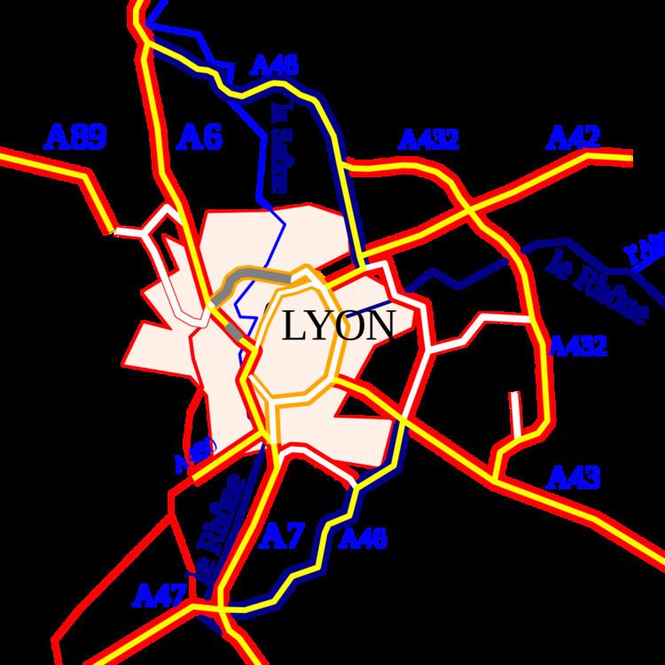
The A46 autoroute is a 47.6 kilometres (29.6 mi) long highway in central France. It connects the town of Givors to Anse and eastern Lyon. It was completed in 1992.

Contents

Map of A46, France

Characteristics

  • 2x2 lanes (2X3 lanes at Rillieux-la-Pape)
  • 65 km long
  • A radar speed trap has been installed at Rillieux-la-Pape (southbound). Speed limit 90 km/h.
  • History

  • 1992 : Opening of the A46 and the RN346.
  • 2007 : Opening of the third lane between Genay and the Mionnay Service Area.
  • Since 2002, there have been further attempts to prohibit heavy traffic over 7.5 tons in Lyon and divert them onto this motorway-by-pass. This is controversial because it generates extra journey times distances travelled.

    Junctions

  • Exchange A6-A46 Junction with the A6 to Villefranche, Dijon and Paris (north) and Lyon (south)
  • 01 (Quincieux) Towns served: Quincieux
  • 02 (Genay-Trévoux) Towns served: Genay/Trévoux
  • Péage de Genay
  • Service Area: Mionnay
  • 03 (Les Echets) Towns served: Les Echets, Bourg-en-Bresse via RN83.
  • 04 (Sathonay) Towns served: Sathonay
  • Junction A46-A42-N346 Junction with A42 to Bourg-en-Bresse and Geneva the A46 becomes the N346 on a bridge over the River Rhone.
  • Junction N346-A43-N6 The A46 commences at a junction with the A43 to Grenoble, Chambéry and Turin and the N6.
  • 11 (La Fouillouse) Towns served:
  • 12 (Saint-Priest) Towns served: Saint-Priest Bel Air
  • 13 (Mions) Towns served: Mions
  • 14 (Lyon sud) Towns served: Boulevard Urbain Sud de Lyon et A7
  • 15 (Corbas) Towns served: Corbas
  • 16 (Ternay-Communay) Towns served: Ternay, Communay
  • Service Area: Communay
  • Exchange A7-A46-A47 Junction with A7 to Marseille and A47 to Saint-Étienne
  • References

    A46 autoroute Wikipedia