
Primarydestinations: RedditchBromsgrove | Length 30.6 km | |
 | ||
The A448 is a main road in England running between Studley in Warwickshire and Kidderminster in Worcestershire.
Contents
Map of A448, Bromsgrove B61, UK
Route
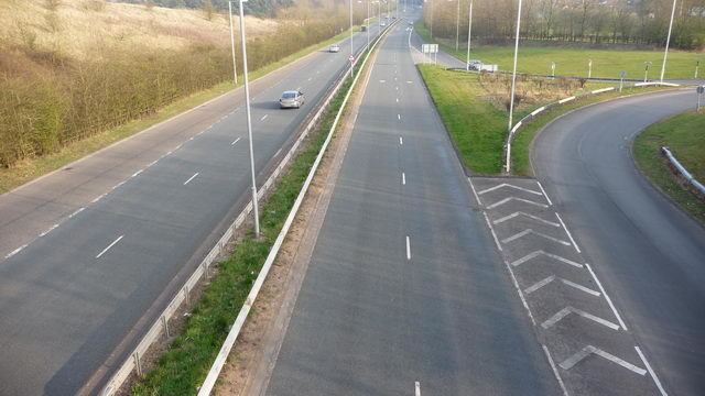
The A448 starts at a fork junction on the A435 just to the South of Studley, heading North West into the new town of Redditch, entering Worcestershire immediately before a roundabout where it meets the A441. For the next 0.8 miles (1.3 km) it is concurrent with the A441, before diverging at England's only Cloverleaf interchange. From this point the A448 heads West on a dual carriageway bypassing the villages of Tardebigge and Finstall. The dual carriageway ends on a roundabout with the A38 Bromsgrove Bypass. It continues through the congested town centre and out of the other side, passing under the M5. It is now a twisty single carriageway road passing through several villages before entering Kidderminster. It crosses the A449 at traffic lights, and descends past Kidderminster station and Severn Valley Railway to meet the Ring Road.