Samiksha Jaiswal (Editor)

A42 autoroute

Updated on
Edit
Like
Comment
Share on FacebookTweet on TwitterShare on LinkedInShare on Reddit
North end:
  
A40

Length
  
52.3 km

South end:
  
Lyon

Highway system
  
Autoroutes of France

A42 autoroute

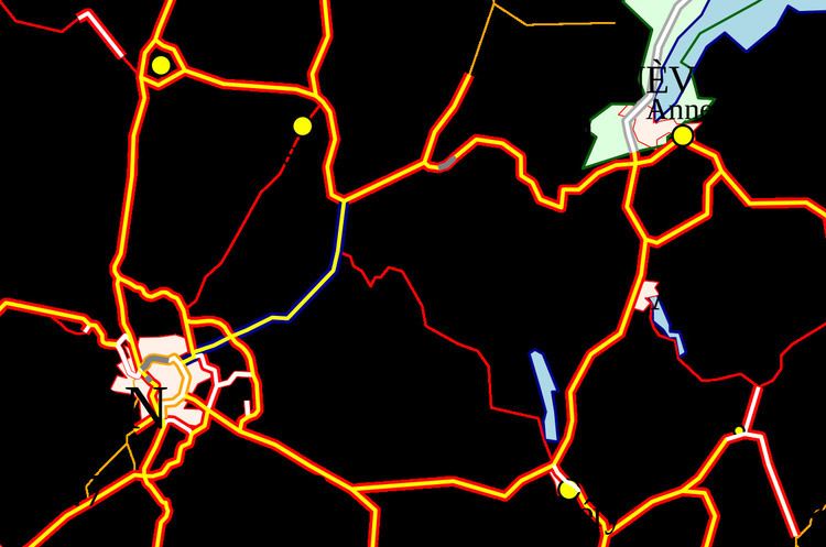
The A42 autoroute is a short motorway in France. Being completed in 1987, the road connects the city of Lyon to its junction with the A40 roughly 50 km north-east of Lyon.

Contents

Map of A42, France

Characteristics

  • 2x2 lanes
  • 2x3 lanes between Lyon and Pérouges (26 km)
  • 70 km long
  • Service areas
  • History

  • 1983: Section between Neyron and Chazey (30 km) opened
  • 1988: Section between Chazey and Pont-d'Ain (19.5 km) opened
  • Junctions

  • 01 (Lyon: porte de Croix-Barret) Towns served Lyon Centre, Périphérique (RN383)
  • 01b (Villeurbanne Croix-Luizet-St Jean) Towns served: Villeurbanne Croix-Luizet, St Jean
  • 01a (Vauix-en-Velin) Towns served: Vauix-en-Velin
  • Exchange A42-N346 Junction with N346 Lyon ring road to Orange south.
  • Exchange A42-A46 Junction with A46 part of the Lyon ring road to Paris
  • 04 (Parc de Miribel-Jonage) : Towns served: Neyron and Miribel
  • 05 (Beynost) : Towns served: Beynost
  • Péage de Beynost
  • Exchange A42-A432 Junction with the A432 to Marseille
  • Service Area: Lyon-Dagneux/Lyon-Montluel
  • 06 (Balan-Dagneux) Towns served: Montluel and Balan
  • 07 (Pérouges) Towns served: Pérouges, Meximieux and Saint-Jean-de-Niost
  • Rest Area: Ambérieu
  • 08 (Ambérieu) Towns served: Ambérieu-en-Bugey
  • 09 (Pont-d'Ain) Towns served: Pont-d'Ain
  • Exchange A42-A40 Junction with A40 to Mâcon (north), Geneva (Switzerland) (east) and end of autoroute.
  • References

    A42 autoroute Wikipedia