
Existed: 1974 – present Constructed 1974 | Length 482 km | |
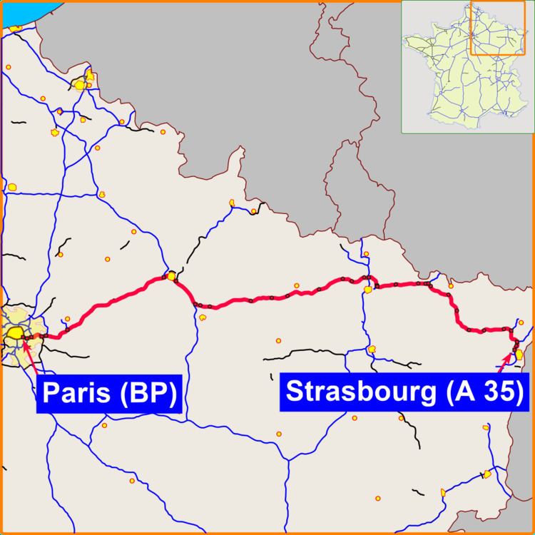 | ||
The A4 Autoroute, also known as autoroute de l'Est (English:Eastern Motorway) is a French autoroute that travels 482 km (300 mi) between the cities of Paris and Strasbourg. It forms parts of European routes E25 and E50.
Map of Autoroute de l'Est, France
Its construction began in the 1970s near Paris. The first section between Paris's Porte de Bercy and Joinville-le-Pont opened in 1974 with a single carriageway. A second carriageway was added in 1975, and the following sections between Joinville and Metz were opened in 1975 and 1976. Former autoroutes A32 and A34 were integrated into the A4 in 1982.
From Paris, the autoroute passes the new town of Marne-la-Vallée and Disneyland Paris. It continues on to the major cities of France's northeast, including Rheims, and terminates in Strasbourg. Local roads provide a connection to southern Germany.
Its westernmost part between the Périphérique and the A86 ring road in Paris is reputed to be the busiest section of road in Europe, with 257,000 vehicles a day recorded in 2002.[1]