
Length 35.04 km | ||
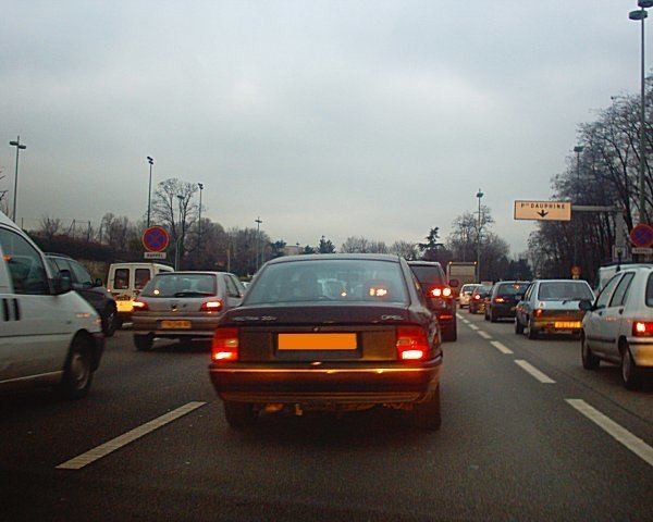 | ||
France d383 boulevard p riph rique lyon
Boulevard Périphérique ([bulvaʁ peʁifeʁik]), sometimes called Périph', is a controlled-access dual-carriageway ring road in Paris, France. With a few exceptions (see Structure and Layout), it is situated along Paris's administrative limit.
Contents
- France d383 boulevard p riph rique lyon
- Map of Bd PC3A9riphC3A9rique Paris France
- History
- Priphrique intrieur vs extrieur
- Structure and layout
- Speed control
- Network monitoring and traffic management
- Other ring roads
- Statistics
- References
Map of Bd P%C3%A9riph%C3%A9rique, Paris, France
The speed limit is 70 km/h (45 mph). Each ring generally has four traffic lanes, with no hard shoulder. At junctions, circulating traffic in the rightmost lane (separated from the other lanes at this point by a continuous white line to the left) must yield priority to entering vehicles.
When travelling at the legal speed limit, it takes around 30 minutes to complete a full circuit.
History
Construction of the Périphérique was begun in 1958 on the former site of the Thiers Wall (the last remaining of the city walls of Paris). Destruction of this obsolete structure in the 1920s left a clear ring of vacant land surrounding Paris, which at first was claimed by slums and squatters. In order to alleviate traffic congestion, the Boulevard was planned along this land, and completed on 25 April 1973 under the presidency of Georges Pompidou. Providing a route for a quarter of all Parisian traffic movements, it quickly became the busiest road in France. It became a victim of its own success with widespread congestion, while the dense urban area surrounding it prevents its expansion.
Périphérique intérieur vs. extérieur
The Périphérique consists of two concentric carriageways: the intérieur ("inner ring") and the extérieur ("outer ring"). Vehicles travel clockwise on the inner ring and counterclockwise on the outer ring. Some stretches of the road are sometimes referred to by cardinal direction. For example, in the southern half of the highway, the "inner ring" is designated as the Périphérique Ouest ("Western Ring") as traffic flows westbound whereas the "outer ring" is designated as the Périphérique Est ("Eastern Ring") as traffic flows eastbound. In the northern half, these designations are reversed.
Structure and layout
The structure of the Boulevard Périphérique is similar to most French autoroutes, UK and Commonwealth nation motorways, and American freeways in the following regards:
The Boulevard Périphérique also has some differences:
There are generally four lanes in each of the two rings of the Boulevard. Variations exist:
The full circuit of the Boulevard Périphérique measures a total of 35.04 kilometres, as measured along the central reservation. The route closely follows the municipal boundaries of Paris. It diverges in three places; in the Bois de Boulogne and the Bois de Vincennes (where the roadway is entrenched and covered), and the Heliport of Paris. Because the Boulevard was built over the old Thiers Wall, its entrance/exit ramps and interchanges coincide with the city gates, or portes in that wall. The road crosses the River Seine via bridges upstream at Charenton/Bercy and downstream at Saint-Cloud/Issy.
Small distance markers are distributed evenly alongside the roadway:
The roadway varies in elevation:
The Boulevard Périphérique can carry the heaviest vehicles allowed by French regulations. There is a height restriction of 4.75 metres (15 feet, 8 inches).
Speed control
The Boulevard Périphérique is equipped with speed cameras to enforce the 70 km/h (45 mph) speed limit. The cameras are oriented to photograph the vehicle from behind, and are reportedly installed:
On the inner ring at:
On the outer ring at:
In addition, the Boulevard Périphérique's exit ramps are often monitored with hand-held binocular-type radar devices; these are triggered when the 50 km/h (31 mph) exiting limit is exceeded.
Finally, during the rush hours, radar-equipped police vehicles are stationed in hidden areas for spot checks.
Network monitoring and traffic management
About a hundred traffic cameras are installed on the boulevard and are directly connected to the control room of the Périphérique traffic management office. 166 emergency telephones are found every 500 metres along the boulevard (every 250 metres underground) which relay 7,000 calls per year. The emergency phones are all numbered, with odd numbered phones on the outer ring and even numbered phones on the inner ring road.
Eight police vehicles during the day and four at night patrol the boulevard constantly.
750 sensors embedded in the road surface record each passing vehicle. These sensors can measure the flow rate, the occupancy rate and velocity of traffic on a given portion.
Variable-message signs on the boulevard provide information on journey times, which are automatically generated every minute by a computer system using data collected by the sensors. This system provides information on the average journey time to the next major exit. These signs are also used to display general messages such as accidents, road closures, road works etc.
Other ring roads
The Boulevard Périphérique is not the only means of bypassing the interior of the French capital: