Population (2006) 17,420 Area 231 ha | Region Île-de-France Canton Joinville-le-Pont Time zone CET (UTC+1) Local time Monday 9:04 AM | |
 | ||
Weather 9°C, Wind N at 10 km/h, 84% Humidity | ||
Stand up paddle joinville le pont
Joinville-le-Pont is a commune in the southeastern suburbs of Paris, France. It is located 9.4 km (5.8 mi) from the center of Paris.
Contents
Map of Joinville-le-Pont, France
History
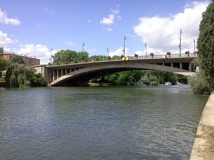
The commune was created in 1791 under the name La Branche-du-Pont-de-Saint-Maur (literally "The Branch of Saint-Maur's Bridge") by detaching its territory from the commune of Saint-Maur-des-Fossés. The commune was renamed Joinville-le-Pont (literally "Joinville the Bridge") on 29 August 1831. Under Louis-Philippe of France, the Redoute de Gravelle was built in the commune.
In 1929, the commune of Joinville-le-Pont lost more than a third of its territory when the city of Paris annexed the Bois de Vincennes, a part of which belonged to Joinville-le-Pont.
Transport
Joinville-le-Pont is served by Joinville-le-Pont station on Paris RER line A.
Education
Public schools include:
There is a private school, Groupe Scolaire A.P.E.P., which runs from preschool to senior high school/sixth-form college (lycée).
