
Magnitude 7.0 Mw Type Strike-slip | Depth 23 km (14 mi) | |
 | ||
Date February 15 at 17:07 UTC | ||
The 1994 Liwa earthquake occurred on February 16 at 00:07 local time. It was located in southern Sumatra, Indonesia. The magnitude of the earthquake was put at Mw 6.9, Mw 7.0, or Ms 7.2, according to different sources.
The earthquake caused 207 deaths and 2000 injuries. There was damage from landslides, mudslides, and fires in Lampung Province. Power outage occurred in western Lampung. Six-thousand buildings were damaged or destroyed by landslides in the Liwa area. In addition to southern Sumatra, the earthquake could be felt in western Java and Singapore. Intense smoke and gas activity was observed in the Suwoh volcanic area.
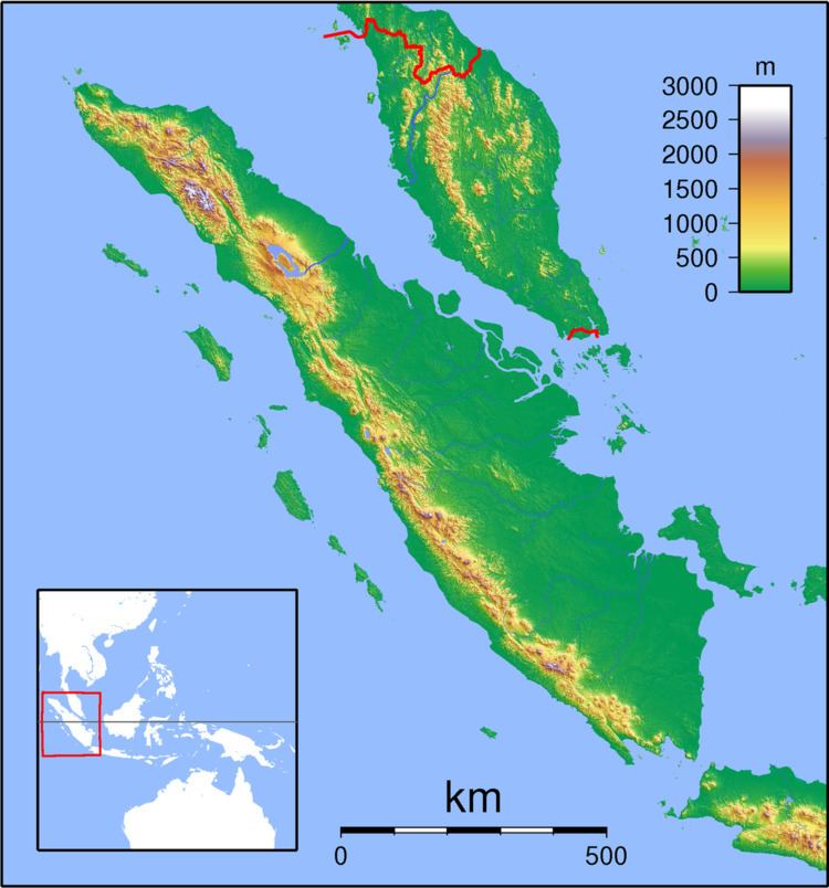
The earthquake took place at the Sumatran Fault Zone. The Sumatran Fault Zone is 1900 km long and highly segmented. It can be divided into about 20 segments. The earthquake occurred in a subparallel strand 2.5 km southwest of the principal trace of the Kumering segment. The focal mechanism is of right-lateral strike-slip faulting.