
 | ||
Škorpil Glacier (Bulgarian: ледник Шкорпил, ‘Lednik Škorpil’ \'led-nik 'shkor-pil) is the 12 km long and 10 km wide glacier on Pernik Peninsula, Loubet Coast on the west side of Antarctic Peninsula, situated northeast of Stefan Ice Piedmont and W of Solun Glacier. It drains the north slopes of Protector Heights, and flows northwards into Darbel Bay east of Madell Point.
Contents
Map of %C5%A0korpil Glacier, Antarctica
The glacier is named after the Czech Bulgarian archeologist Karel Škorpil (1859–1944).
Location
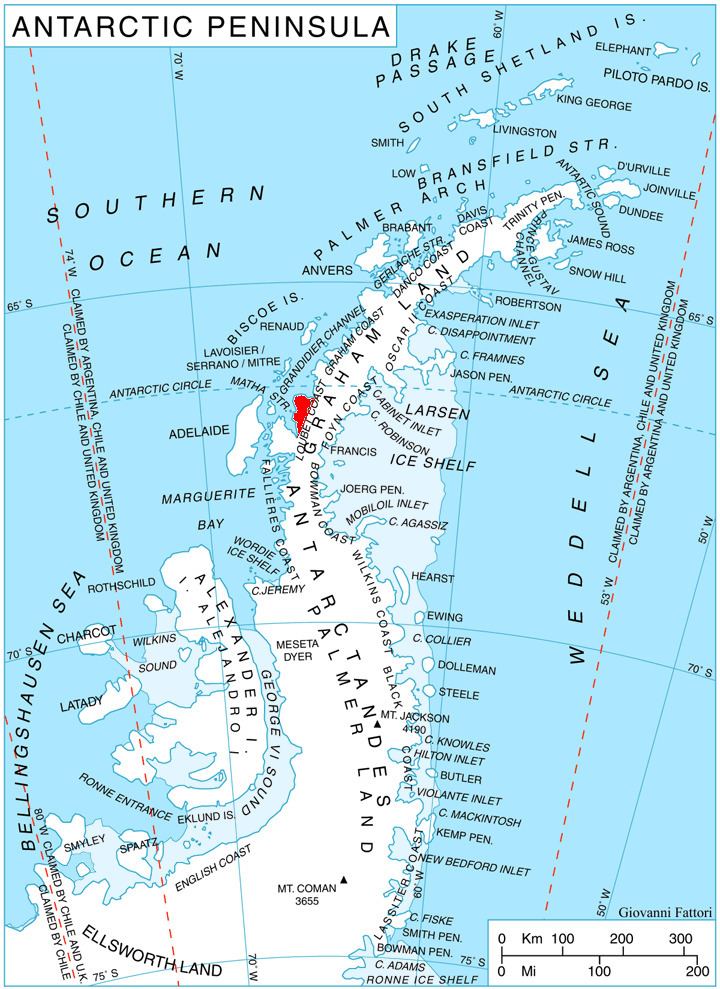
Škorpil Glacier is centred at 66°37′50″S 66°16′00″W. British mapping in 1976.
Maps
References
Škorpil Glacier Wikipedia(Text) CC BY-SA