
 | ||
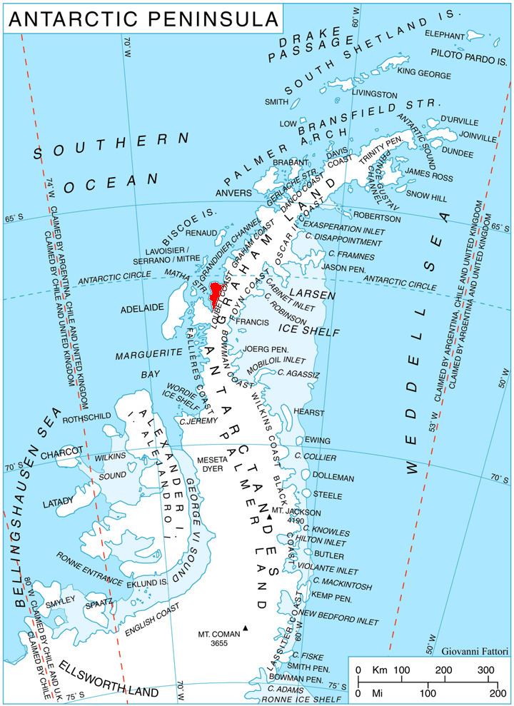
Protector Heights are mountainous coastal heights (2,245 m) on Pernik Peninsula, Antarctica, which are separated from the Graham Land plateau by a narrow col, dominating the area between Wilkinson Glacier and southern Darbel Bay. Mapped from air photos taken by Falkland Islands and Dependencies Aerial Survey Expedition (FIDASE) (1956–57). Named by United Kingdom Antarctic Place-Names Committee (UK-APC) after HMS work and served in the Antarctic every season from 1955 until 1967.
Map of Protector Heights, Antarctica
This article incorporates public domain material from the United States Geological Survey document "Protector Heights" (content from the Geographic Names Information System).
References
Protector Heights Wikipedia(Text) CC BY-SA