
Car plates CSW Capital Świecie | Seat Świecie Area 1,473 km² | |
 | ||
Gminas Total 11Gmina BukowiecGmina DragaczGmina DrzycimGmina JeżewoGmina LnianoGmina NoweGmina OsieGmina PruszczGmina ŚwiecieGmina ŚwiekatowoGmina Warlubie Points of interest Teutonic Castle in Świecie, Tuchola Forest, Rezerwat przyrody Ostnicow, Rezerwat przyrody Jezioro Pi, Dąb Jan Kazimierz | ||
Świecie County (Polish: powiat świecki) is a unit of territorial administration and local government (powiat) in Kuyavian-Pomeranian Voivodeship, north-central Poland. It came into being on January 1, 1999, as a result of the Polish local government reforms passed in 1998. Its administrative seat and largest town is Świecie, which lies 45 km (28 mi) north of Toruń and 45 km (28 mi) north-east of Bydgoszcz. The only other town in the county is Nowe, lying 33 km (21 mi) north-east of Świecie.
Contents
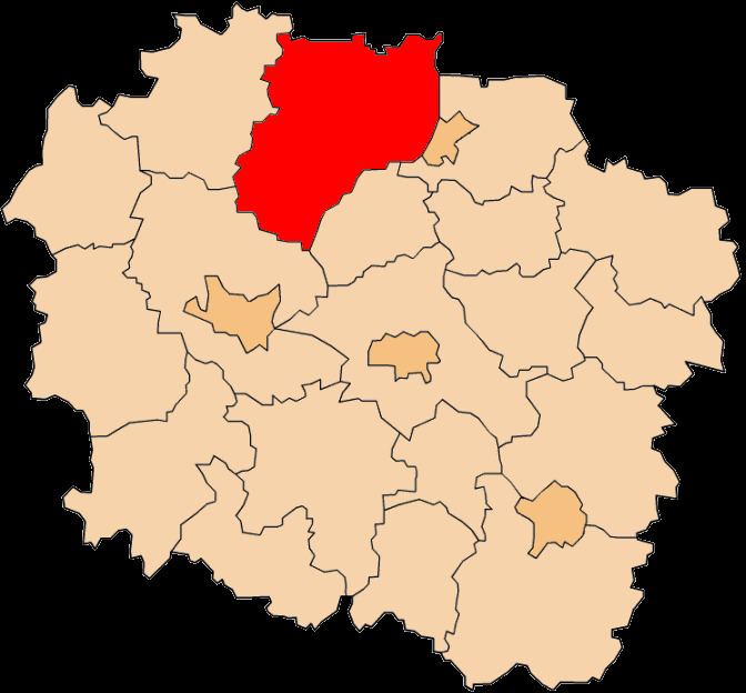
Map of %C5%9Awiecie County, Poland
The county covers an area of 1,472.78 square kilometres (568.6 sq mi). As of 2006 its total population is 96,941, out of which the population of Świecie is 25,614, that of Nowe is 6,252, and the rural population is 65,075.
Neighbouring counties
Świecie County is bordered by Starogard County and Tczew County to the north, Kwidzyn County to the north-east, the city of Grudziądz and Grudziądz County to the east, Chełmno County to the south, Bydgoszcz County to the south-west, and Tuchola County to the west.
Administrative division
The county is subdivided into 11 gminas (two urban-rural and nine rural). These are listed in the following table, in descending order of population.