
Car plates WLS Area 771.8 km² Capital Łosice | Seat Łosice Population 32,769 (2006) | |
 | ||
Gminas Total 6Gmina HuszlewGmina ŁosiceGmina OlszankaGmina PlaterówGmina SarnakiGmina Stara Kornica | ||
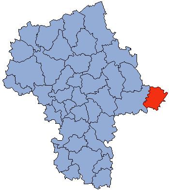
Łosice County (Polish: powiat łosicki) is a unit of territorial administration and local government (powiat) in Masovian Voivodeship, east-central Poland. It came into being on January 1, 1999, as a result of the Polish local government reforms passed in 1998. Its administrative seat and only town is Łosice, which lies 118 kilometres (73 mi) east of Warsaw.
Contents
Map of %C5%81osice County, Poland
The county covers an area of 771.77 square kilometres (298.0 sq mi). As of 2006, its total population is 32,769, out of which the population of Łosice is 7,252 and the rural population is 25,517.
Neighbouring counties
Łosice County is bordered by Siemiatycze County to the north, Biała Podlaska County to the south-east and Siedlce County to the west.
Administrative division
The county is subdivided into six gminas (one urban-rural and five rural). These are listed in the following table, in descending order of population.