
District Demirköy Postal code 39650 Population 1,966 (2010) | Region Marmara Time zone EET (UTC+2) Area code(s) 0 288 Local time Sunday 3:24 PM | |
 | ||
Weather 12°C, Wind NE at 18 km/h, 60% Humidity | ||
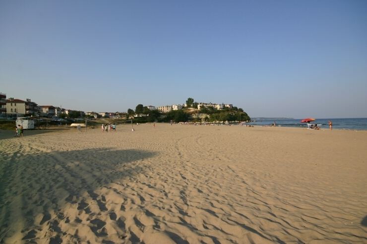
İğneada is a small town within the district of Demirköy in Turkey's Kırklareli Province. It lies on the Black Sea coast and is approximately 5 km (3 mi) south of the Mutludere river which forms the border with Bulgaria. Its population was 1,966 in 2010.
Map of %C4%B0%C4%9Fneada, 39500 Demirk%C3%B6y%2FK%C4%B1rklareli, Turkey
The land is covered by mainly oak forests, typical flora of the Yıldız (Istranca) Mountains. Forestry, fishing and tourism are the main occupations of the town population.
The İğneada Floodplain Forests National Park with its Lake Saka Nature Reserve Area is situated around the town. It harbors one of the few remaining floodplain forests in all of Europe, which is home to many different bird species.
Third nuclear plant of Turkey is planned to be built in the area. A fourth revision environmental impact assessment was submitted and approved. There is no timeline or budget set for the project as of November 2015.