
Elevation 76 m (249 ft) Postal code 23335 Area 20.9 km² Population 1,004 (2002) | Time zone CET (UTC+1) Area code(s) +381(0)24 Local time Sunday 11:14 AM | |
 | ||
Weather 21°C, Wind S at 19 km/h, 36% Humidity | ||
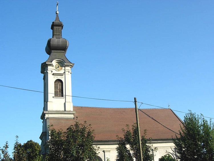
Đala (Serbian Cyrillic: Ђала) is a village in Serbia. It is situated in the Novi Kneževac municipality, in the North Banat District, Vojvodina province. The village has a Serb ethnic majority (80.07%) with a present Hungarian (9.86%) and Romani minority (5.57%). It has a population of 1,004 people (2002 census). At the northern exit of the village is daytime border (7 AM - 7 PM) crossing with Hungary, Đala-Tiszasziget, which can be used only by citizens of Serbia, Hungary and other EU citizens, as well as citizens of Switzerland.
Contents
Map of %C4%90ala, Serbia
History
Bronze Age graves of south Russian steppe nomads were found in the village.
Population
References
Đala Wikipedia(Text) CC BY-SA