
- summer (DST) CEST (UTC+2) Area 9.37 km² | Elevation 102 m Local time Sunday 10:28 AM | |
 | ||
Weather 16°C, Wind E at 6 km/h, 44% Humidity | ||
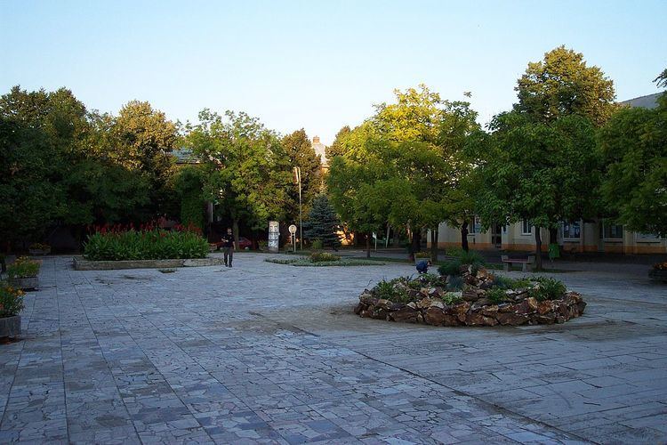
Čierna nad Tisou (Hungarian: Tiszacsernyő) is a town and municipality in the Trebišov District in the Košice Region of extreme south-eastern Slovakia, near the Tisa (Tisza) river.
Contents
- Map of 076 43 C48Cierna nad Tisou Slovakia
- History
- Geography
- Ethnicity
- Economy and facilities
- Transport
- Twin towns Sister cities
- References
Map of 076 43 %C4%8Cierna nad Tisou, Slovakia
History
The town and municipality is one of the newest in the Košice Region established in 1828.
In 1968, from 29 July to 1 August, Soviet and Czechoslovak leaders Leonid Brežnev and Alexander Dubček met in Čierna nad Tisou. This meeting was followed by the Warsaw Pact invasion of Czechoslovakia on 20 August 1968.
Geography
The town lies at an altitude of 102 metres (335 feet) and covers an area of 9.37 square kilometres (3.62 square miles). It has a population of about 4,390 people. It is close to the tripoint between Hungary, Ukraine and Slovakia.
Ethnicity
The town is about 60% Hungarian, 34% Slovak .6% Ukraine ( Ukrainian ).
Economy and facilities
The town has a pharmacy, and outpatient health facilities of a general practitioner and children and adolescents. The town has a public library, gymnasium, a post office, and a number of general and food stores.
Transport
The town has a railway border crossing to Ukraine, where all trains have to change gauge. With 916 tracks this town is the biggest "harbour on land" in Central Europe. The first town across the border in Ukraine is Chop.
Twin towns — Sister cities
Čierna nad Tisou is twinned with: