
Time zone UTC-3 (UTC-3) Area 362.9 km² | Postal Code 15540-000 Local time Sunday 6:23 PM | |
 | ||
Weather 27°C, Wind SE at 11 km/h, 49% Humidity | ||
Institucional lvares florence wmv
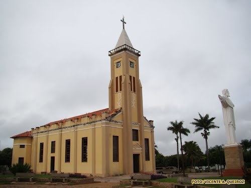
Álvares Florence is a municipality in the state of São Paulo, Brazil. It has a population of 3,897 inhabitants (IBGE/2010) and an area of 362.9 km².
Contents
- Institucional lvares florence wmv
- Map of C381lvares Florence State of SC3A3o Paulo Brazil
- Hino de lvares florence sp
- History
- Economy
- Roads
- References
Map of %C3%81lvares Florence - State of S%C3%A3o Paulo, Brazil
The city is located on the northwest of the state, 538 km from the city of São Paulo. Álvares Florence belongs to the Microregion of Votuporanga.
Hino de lvares florence sp
History
At the end of the 19th century, Joaquim Pedro da Silva built the first residence on the region. With the time a village appeared, being named São João Batista do Marinheiro.
In 1926, the village was elevated to district of Tanabi, with the name of Vila Monteiro, and in November 30, 1944, the name changed to Igapira, being a district of the newly created city of Votuporanga.
The city was officially established as a municipality on December 24, 1948, changing its name to the current form. On April 10, 1949, the municipal chamber was installed.
Economy
The Tertiary sector corresponds to 43.88% of the Álvares Florence GDP. Agriculture and livestock is 29.45% of the GDP and the Industry corresponds to 26.67%.