
Mountain type Gneissrock summit | State/Province AT-7 Elevation 2,988 m | |
 | ||
Normal route From Kühtai through the Finstertal valley up the southeast flank or along the Langental valley and via the Zwölferkar cirque Similar Schattberg, Reiterkogel, Sulzkogel, Lärchfilzkogel, Rotgschirr | ||
Topography
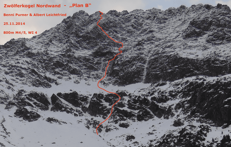
The Zwölferkogel lies about 2.7 kilometres south of the winter sport resort of Kühtai. The northwest face of the Zwölferkogel falls around 500 metres into the Längental valley. To the east below the Finstertal is the Finstertalspeicher, a reservoir belonging to the Sellrain-Silz Power Station. To the south, along a sharp arête, are the Mittagsköpfe (2,934 m (AA)), the Mittagsturm tower (2,929 m (AA)) and the Sulzkogel (3,016 m (AA)).
References
Zwölferkogel (Stubai Alps) Wikipedia(Text) CC BY-SA