
Time zone SAST (UTC+2) Area 14,799 km² Black african population 98% Native english speakers 1.5% | Municipal code DC26 White population 1.4% Native afrikaans speakers 1.3% Mayor Mpiyakhe Hlatshwayo | |
 | ||
Local municipalities ListeDumbeuPhongoloAbaqulusiNongomaUlundi | ||
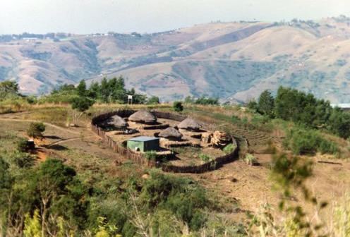
Zululand is one of the 11 district municipalities ("districts") of KwaZulu-Natal province. The seat of Zululand is Ulundi. The majority of its 804,456 people speak IsiZulu (2001 Census). The district code is DC26. It is part of a larger historical area also known as Zululand.
Contents
Map of Zululand DC, South Africa
Neighbours
Zululand is surrounded by:
Local municipalities
The district contains the following local municipalities:
Demographics
The following statistics are from the 2001 census.
Election results
Election results for Zululand in the South African general election, 2004.
References
Zululand District Municipality Wikipedia(Text) CC BY-SA