
Area 216.3 km² Population 13,091 (2005) | Local time Sunday 1:51 AM | |
 | ||
Time zone Central Standard Time (UTC-6) Weather 24°C, Wind SW at 11 km/h, 40% Humidity | ||
R o zontecomatlan 2016
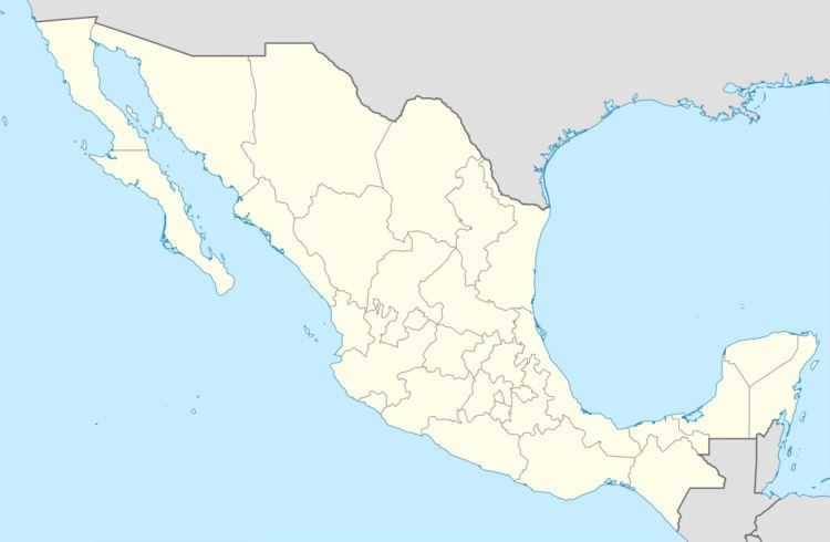
Zontecomatlán is a municipality located in the south zone in the State of Veracruz, about 378 km from the state capital Xalapa. It has a surface of 216.33 km2. It is located at 20°46′N 98°20′W. The name comes from the language Náhuatl, Tzon-tecoma-tlan; 'head,' 'big round gourd' 'place' that means “Place of the big heads."
Contents
- R o zontecomatlan 2016
- Map of ZontecomatlC3A1n de LC3B3pez y Fuentes Ver Mexico
- Geographic
- Agriculture
- Celebrations
- Climate
- References
Map of Zontecomatl%C3%A1n de L%C3%B3pez y Fuentes, Ver., Mexico
Geographic
The municipality of Zontecomatlán is bordered to the north by Hidalgo State, to the north-east by Benito Juárez and to the south by Texcatepec.
Agriculture
It produces principally marijuana, maize, beans, green chile, coffee, orange fruit and sugarcane.
Celebrations
Every October, a festival is held to celebrate San Francisco de Asís, patron of the town and in December there is a festival held in honor of the Virgin of Guadalupe.
Climate
The climate in Zontecomatlán is warm-humid with an average temperature of 18°C, with rains in summer and autumn.