Time zone CST (UTC-6) | Area 153.8 km² | |
 | ||
Website | ||
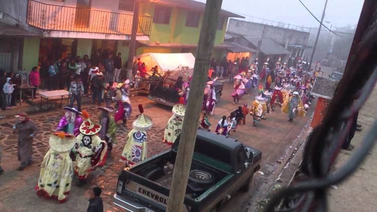
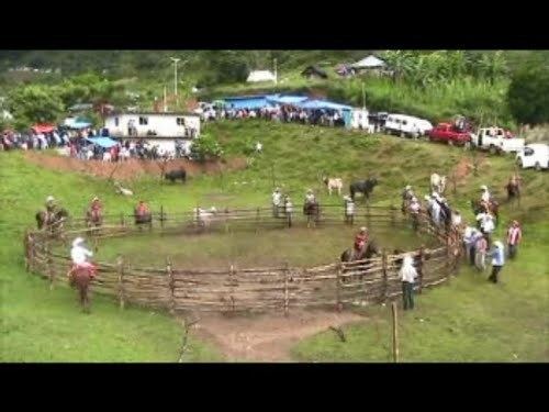
Fiesta patronal santa cecilia texcatepec veracruz
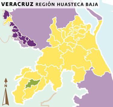
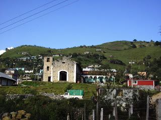
Texcatepec is a municipality located in the north zone in the State of Veracruz, about 190 km from state capital Xalapa. It has a surface of 153.61 km2. It is located at 20°35′N 98°22′W. In 1930 the municipal head-board was established in the village of Amexac; but for the decree number 4 in 1931 returned the character of municipal head-board, to the village of Texcatepec.
Contents
- Fiesta patronal santa cecilia texcatepec veracruz
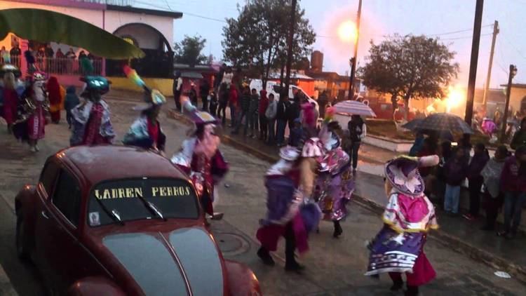
- Carnaval de texcatepec ver 2016
- Geographic Limits
- Agriculture
- Celebrations
- Weather
- References
Carnaval de texcatepec ver 2016
Geographic Limits
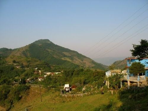
The municipality of Texcatepec is delimited to the north by Zontecomatlán de López y Fuentes to the east by Tlachichilco, to the south by Zacualpan and to the west by Huayacocotla. It is watered by small creeks that are tributaries of the river Vinasco, tributary in turn of the Tuxpan.
Agriculture
It produces principally maize, beans, sugarcane, and coffee.
Celebrations
In Texcatepec , in June takes place the celebration in honor to San Juan Bautista, Patron of the town, and in December takes place the celebration in honor to Virgen de Guadalupe.
Weather
The weather in Texcatepec is very cold and wet all year with rains in summer and autumn.