
First mentioned 1576 Postal code 19700-19705 Area 21.65 km² Local time Sunday 8:48 AM | Magdeburg rights 1635 Area code(s) +380 4737 Population 28,375 (2005) | |
 | ||
CountryOblastCity municipality UkraineCherkasy OblastZolotonosha Weather 8°C, Wind S at 13 km/h, 82% Humidity | ||
Zolotonosha (Ukrainian: Золотоноша, [zɔɫɔtɔˈnɔʃɑ]) is a city located in the Cherkasy Oblast (province) in central Ukraine. Located at around 49°40′N 32°2′E, the city serves as the administrative center of the Zolotonosha Raion (district), however the city itself is designated with the status of a separate district within the oblast.
Contents
- Map of Zolotonosha Cherkasy Oblast Ukraine
- History
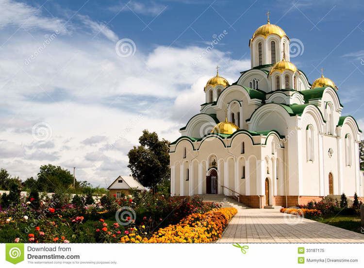
- Monuments of architecture
- People from Zolotonosha
- References
Map of Zolotonosha, Cherkasy Oblast, Ukraine
Zolotonosha is located on the Zolotonoshka River, a tributary of the Dnipro river within 30 km (19 mi) of the oblast's administrative center, Cherkasy. The city is also located on the railroad line Bakhmach-Odessa, and on the autoroad Kiev-Kremenchuk and Cherkasy-Shramivka.
History
Zolotonosha was first mentioned in written works around the year 1576. In 1635 Zolotonosha was granted the Magdeburg rights. Following the Ukrainian War of Independence, Zolotonosha became part of Ukrainian SSR, a republic of the Soviet Union. In 1939 the 2,087 members of the Jewish community comprised 11.4% of the town's total population. On September, 1941, 300 Jews were murdered in a mass execution. On November 22, 1941, in Strunkovka, just northwest of the town, more than 3,500 Jews were killed in another massacre. The city was liberated by the Red Army on September, 1943. When the Soviet Union fell apart in 1991, the city became part of Ukraine.