
 | ||
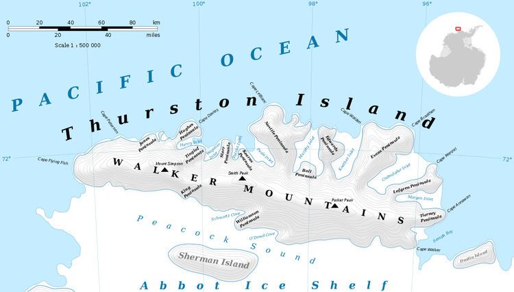
Zinberg Glacier (72°21′S 96°4′W) is a glacier in east Thurston Island; it flows east-northeast into Morgan Inlet between Tierney Peninsula and the promontory ending in Ryan Point. Named by Advisory Committee on Antarctic Names (US-ACAN) after Cpl. E. Zinberg, U.S. Army photographer in the Eastern Group of U.S. Navy Operation Highjump, which obtained aerial photographs of Thurston Island and adjacent coastal areas, 1946-47.
Contents
Map of Zinberg Glacier, Antarctica
Maps
This article incorporates public domain material from the United States Geological Survey document "Zinberg Glacier" (content from the Geographic Names Information System).
References
Zinberg Glacier Wikipedia(Text) CC BY-SA