
Admin. region Freiburg Elevation 223 m (732 ft) Founded 1218 Population 8,086 (31 Dec 2008) | Time zone CET/CEST (UTC+1/+2) Local time Sunday 12:53 PM Postal code 77736 | |
 | ||
Weather 14°C, Wind N at 10 km/h, 67% Humidity | ||
Driving through zell am harmersbach schwartzwald germany
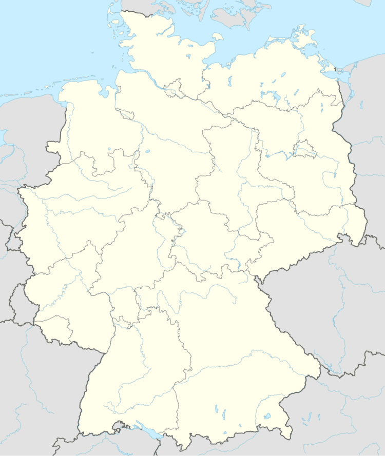
Zell am Harmersbach is a small town and a historic “Reichsstadt” in Baden-Württemberg, Germany. It lies in the Ortenaukreis, between the Black Forest and the Rhine.
Contents
- Driving through zell am harmersbach schwartzwald germany
- History
- Geography
- City districts
- Incorporations
- Political administration
- Local election results
- Coat of arms
- International relations
- Culture and attractions
- Museums
- Economy and infrastructure
- Transportation
- Education
- Famous citizens
- Individuals with relation to city
- References
History
Zell monastery was founded by the Counts von und zu Hohengeroldseck, to whose sovereign lands, most of the modern Ortenaukreis district of Baden-Württemberg belonged. The monastery was consecrated within the Zähringen order, with records dating back to 1139. In 1289 Rudolph I, invested the monastery as an Imperial abbey and was placed within the Gengenbach order under the Diocese of Strasbourg, however ownership and the vogt remained with the Kurfürst von und zu HohenGeroldsack until 1636, with the death of Kurfürst Jacob von und zu HohenGeroldsack.
During the Middle Ages the Hohengeroldsecks founded between 16 and 20 monasteries within the southern half of modern Baden-Baden. They were closely aligned with the Bishopic of Strassburg, being Vogt protectors for nearly 371 years, and twice Bishops of Strassburg, 1262–1273.
Geography
Zell is located at the end of the Harmersbachtal (Harmersbach Valley), a tributary valley of the Kinzig. 8 km North Hohengeroldseck Main Castle at Biberach. And 16 km from Lahr, another Hohengeroldseck foundation.
City districts
Along with Zell, the districts of Unterharmersbach, Unterentersbach und Oberentersbach are incorporated into the city.
The city is bordered on the north by Nordrach, on the northeast by Oberharmersbach, on the southeast by Fischerbach, on the south by the city of Haslach, in the southwest by Steinach, on the west by Biberach, and on the northwest by the city of Gengenbach.
Incorporations
Political administration
The city is the seat of the arranged administration partnership with the communities of Biberach, Nordrach and Oberharmersbach.
Local election results
The local council elections on the 13 June 2004 had the following result:
1. CDU 37.8% (+0,7) - 7 seats (−2)
2. FWV 31.6% (-0,8) - 6 seats (−2)
3. SPD 18.9% (-2,1) - 3 seats (−2)
4. GLZ 11.7% (+2,2) - 2 seats (=)
Coat of arms
Zell's coat of arms, a black eagle on gold, is the crest of the Holy Roman Empire and symbolizes Zell's history as an imperial city.
International relations
Zell am Harmersbach is twinned with:
The district of Unterharmersbach has maintained a partnership with the Swiss community of Tuggen since 2000.
Culture and attractions
Zell lies on the Kinzigtäler Jakobusweg and on the Großen Hansjakobweg routes, both of which pass many sites of interest.
Museums
Economy and infrastructure
Zell is the birthplace of the famous Hahn und Henne (Rooster and Hens) pottery factory.
Transportation
Zell am Harmersbach lies on the Harmersbachtalbahn, a branch line of the Black Forest Railway, which runs from Biberach to Oberharmersbach. Public transport is provided for by the Ortenau transit network.
Education
At Ritter von Buß Educational Center, there is a primary school, a secondary school and technical school. An additional primary school is located in Unterharmersbach. There is also a special educational school in Kernstadt. There are four kindergartens in the area.