
 | ||
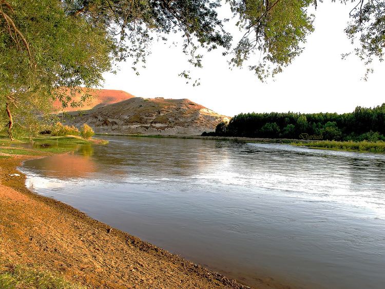
The Zarrineh River (Persian: زرّینهرود , 'golden river' Zarrineh-Rud, Zarriné-Rūd, Zarrinehrood) is a river in Kurdistan Province and West Azarbaijan Province, Iran.
Contents
Map of Zarrine River, Iran
It is 302 km long, arising in the Zagros Mountains of Kurdistan Province south of Saqqez, where it is also known as the Jaqatoo River (Jaghatu Chay).
Course
The Zarrineh River flows northward and is dammed at Sadd-e Kurosh-e Kabir (Dam of Cyrus the Great) at the border with West Azarbaijan, producing a large reservoir. There is a power plant there. The river continues north and slightly west past the cities of Shahin Dezh, Kashavar and Miandoab and into Lake Urmia. Although it is perennial, unlike many of the streams in the Urmia Basin, its flow is still markedly seasonal with a discharge into Lake Urmia ranging from 500 cubic metres (0.41 acre·ft) per second to only 10 cubic metres (0.0081 acre·ft) per second at the end of the dry season.
Tributaries
The tributaries of the Zarrineh River include: