
Elevation 231 m (758 ft) Postal code 30301 Founded 1887 Local time Saturday 9:06 PM | Time zone UTC -3 Dial plan +598 4463 (+4 digits) Population 553 (2011) | |
 | ||
Weather 18°C, Wind E at 14 km/h, 73% Humidity | ||
Zapicán is a village in the northwest of Lavalleja Department in Uruguay.
Contents
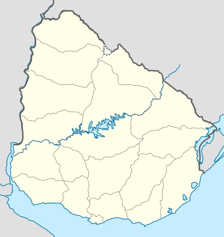
Map of Zapican, Lavalleja Department, Uruguay
Location
The village is located on the junction of Route 14 with Route 40, about 24 kilometres (15 mi) east of José Batlle y Ordoñez, with an elevation of 231 m (758 ft). The railroad track Montevideo - Nico Pérez - Río Branco passes along the south limits of the village.
History
It was founded by Pablo Fernández in September 1891 and on 9 June 1913, it was declared a "Pueblo" (village) by the Act of Ley Nº 4.337.
Population
In 2011 Zapicán had a population of 553.
Source: Instituto Nacional de Estadística de Uruguay
References
Zapicán Wikipedia(Text) CC BY-SA