
Time zone UTC -3 Dial plan +598 4469 (+4 digits) Population 2,203 (2011) | Postal code 30200 Founded 25 June 1883 Local time Tuesday 3:58 AM | |
 | ||
Weather 12°C, Wind W at 8 km/h, 82% Humidity | ||
José Batlle y Ordóñez is a small town in the northwest of Lavalleja Department in Uruguay.
Contents
- Map of Jose Batlle y Ordonez Lavalleja Department Uruguay
- Location
- History
- Population
- Places of worship
- References
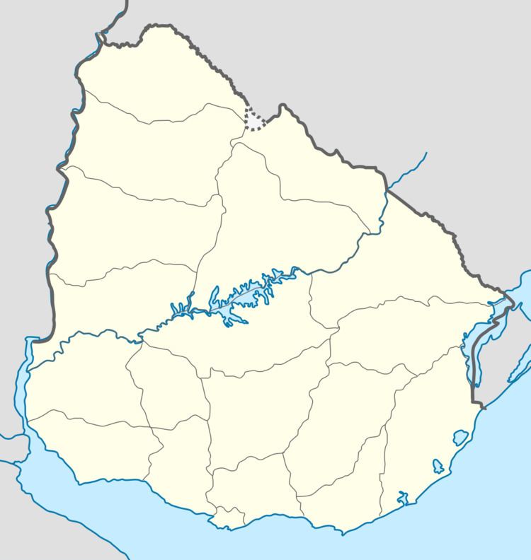
Map of Jose Batlle y Ordonez, Lavalleja Department, Uruguay
Location
The town is located on the junction of Route 7 with Route 14, about 24 kilometres (15 mi) west of Zapicán and on the border of Florida Department. It is in close proximity to Nico Pérez, separated from it partly by Route 7 and partly by the railroad tracks. The two parts are joined by a bridge passing over the tracks.
History
A populated centre was founded here on 9 December 1883. The initial (common) village was named "Nico Pérez" and recognized as such by decree of 10 April 1896. On 19 March 1907 it was renamed to "José Batlle y Ordóñez" by decree Ley Nº 3.148. The part of the village that is in the Florida Department kept the original name.
Population
In 2011 José Batlle y Ordóñez had a population of 2,203.
Source: Instituto Nacional de Estadística de Uruguay