
Admin. region Oberbayern Municipal assoc. Oberbergkirchen Area 9.84 km² Local time Sunday 12:53 AM | Elevation 430 m (1,410 ft) Population 1,062 (31 Dec 2008) Postal code 84539 | |
 | ||
Weather 10°C, Wind W at 10 km/h, 77% Humidity | ||
Zangberg is a municipality in the district of Mühldorf in Bavaria in Germany.
Contents
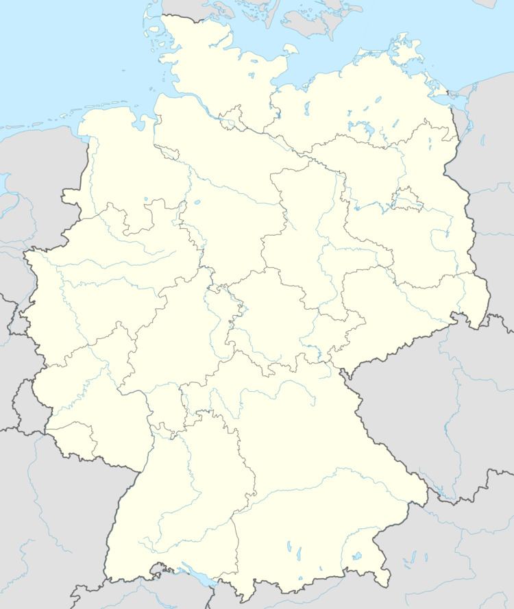
Map of Zangberg, Germany
Geography
Zangberg is located in the region Südostoberbayern at the northern part of the valley of the river Isen.
There are two local subdistricts: Weilkirchen, Zangberg.
The municipality of Zangberg has the following local districts: Atzging, Emerkam, Englhör, Hausmanning, Herrnteisenbach, Kaps, Kröppen, Landenham, Moos, Moosen, Palmberg, Permering, Stegham, Taubenthal, Weiher and Weilkirchen.
History
Zangberg was mentioned the first time in 1285, while Weilkirchen was already attested in 788. It belonged to the district of Landshut and the district court of Neumarkt St. Veit. In course of the administrative reform of Bavaria in 1818 the current municipality was founded.
The village is determined by the 17th Century medieval building of the present monastery of St. Joseph. From 1862 until 1941 the Visitandines, also known as the Salesian Sisters, had a school for aristocratic girls, whose most famous pupil was probably Zita of Bourbon-Parma, later Empress of Austria as the wife of Charles I of Austria. There is still a Visitandine community here.
During World War II, a subcamp of Dachau concentration camp was located here.
Since Yvonne the cow lived in the woods near Zangberg, the village has been known as "Kuahort".
Demographics
In 1970 Zangberg had only 569 residents. The population grew to 800 in 1987 and to 947 in 2000. In 2004 the population reached 1000 residents.